Rainfall Distribution and Timing
The National Weather Service predicts that central and South Florida will experience locally heavy rain through at least late Friday, possibly extending into Saturday.

Source: Pixabay
Some areas may receive over 10 inches of rain, significantly impacting urban regions prone to flooding.
National Hurricane Center's Forecast
The National Hurricane Center (NHC) has designated the area of lower pressure as “Invest 90L.”

Sourc: Marek Piwnicki/Pexels
Although the chance of this system developing into a tropical depression or storm is low, it is crucial for residents to remain alert for potential flooding due to heavy rainfall.
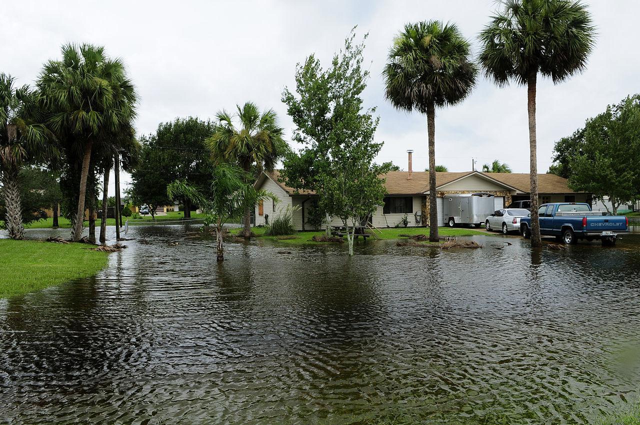
Potential Flash Flooding Areas
The National Weather Service has also issued a flood watch for much of South Florida, including major cities like Miami, Fort Lauderdale, and Naples.

Image: floodreadytn.com
Urban areas are particularly vulnerable, and residents should be prepared for rapidly changing conditions and potential flash flooding.
Impact on Spring Drought
While the anticipated rainfall will likely put a significant dent in Florida’s spring drought, it comes with the trade-off of possible flash flooding.

Source: Jon Sullivan/Flickr
The balance between drought relief and flood risk is delicate, making this week a critical period for the state.
Weather Pattern Shift Next Week
Early next week, the upper-air pattern is expected to change, shifting the heavy rain threat westward to parts of the Gulf Coast, including the Florida Panhandle, Louisiana, and Texas.

Source: Reddit
This shift could give the Florida Peninsula a brief break from the heavy rain.
Record Warm Gulf Waters
Despite the Gulf waters being record warm for this time of year, the chance of tropical development remains low.

Yinan Chen/Wikimedia Commons
High wind shear, a common feature in June, is likely to inhibit any tropical cyclone formation, keeping the focus on heavy rain rather than tropical storms.
Typical June Tropical Activity
June typically sees tropical development in the Gulf of Mexico, the northwest Caribbean Sea, or off the Southeast U.S. coast.

Source: Wikimedia
However, current conditions suggest that any tropical activity this week or next is unlikely, according to senior meteorologist Chris Dolce.
Wind Shear's Role in Weather Development
High wind shear over the Gulf of Mexico is a significant factor preventing tropical development.

Source: Wikipedia
This natural phenomenon disrupts the formation of tropical cyclones, making it difficult for any low-pressure systems to strengthen into more severe storms.
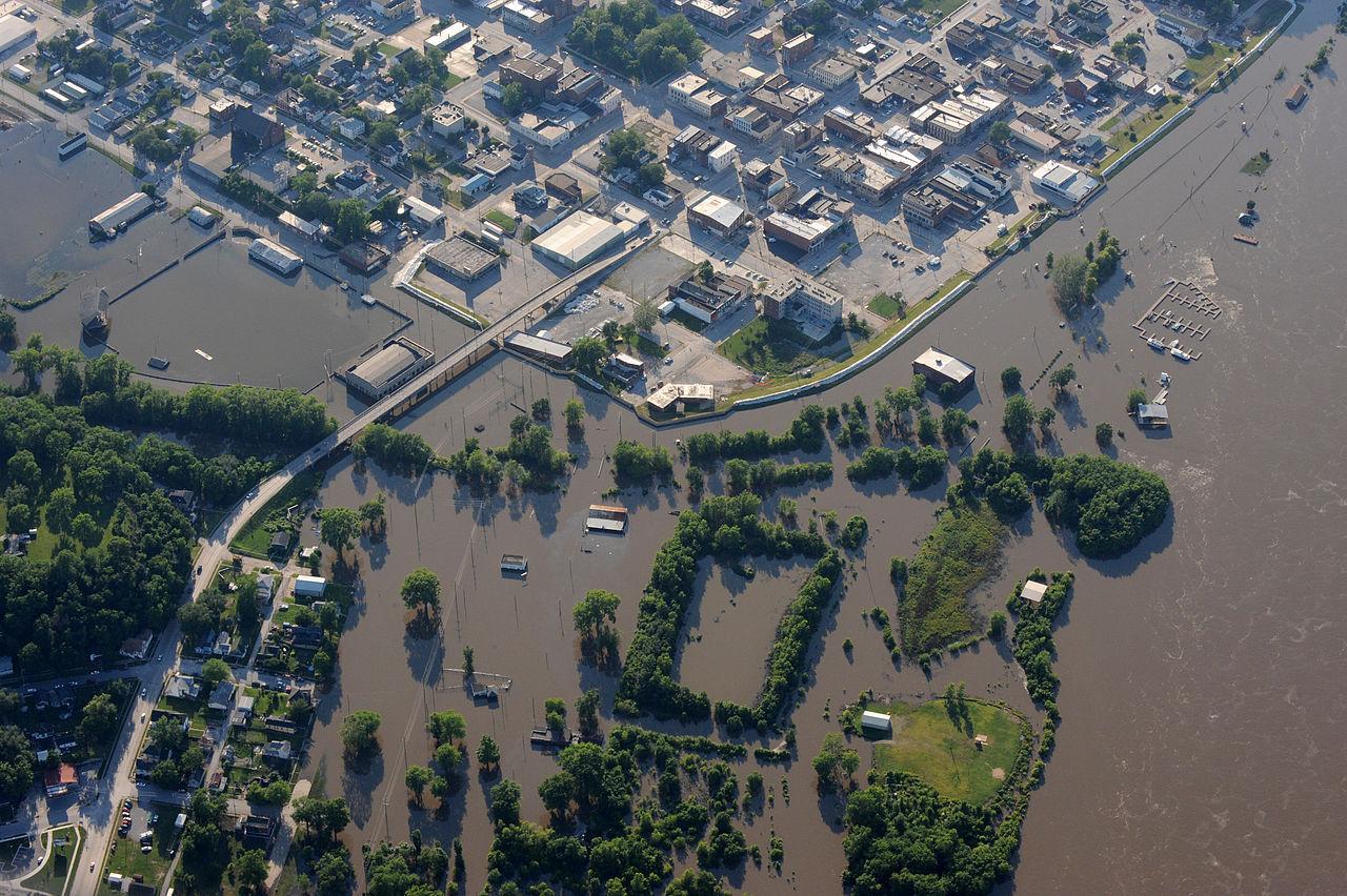
Preparing for Heavy Rain and Flooding
Residents in the affected areas should stay informed and prepared for heavy rain and potential flash flooding.
Source: Wikimedia
Monitoring local weather updates and following the guidance of the National Weather Service can help mitigate the impacts of the upcoming weather.
The Importance of Climate Change Awareness
The Gulf Coast region’s vulnerability to severe weather events, such as hurricanes and heavy rain, highlights the importance of addressing climate change.

Source: Freepik
Rising sea levels and warmer ocean temperatures contribute to more intense and frequent weather patterns, making it crucial for communities to take action in mitigating and adapting to these changes.
Safety Measures
As Florida braces for potential flash flooding, staying vigilant and prepared is essential.
Source: Wikimedia
The state’s residents must balance the benefits of drought relief with the risks of heavy rain and flooding, ensuring they remain safe during this period of intense weather activity.