Potential Developments on the Horizon
Despite the slow start, activity may pick up soon. The National Hurricane Center (NHC) is monitoring three areas for potential development, including two in the Atlantic and one in the Eastern Pacific.

Source: Wikimedia
These systems could signal the beginning of a more active period in the hurricane season.
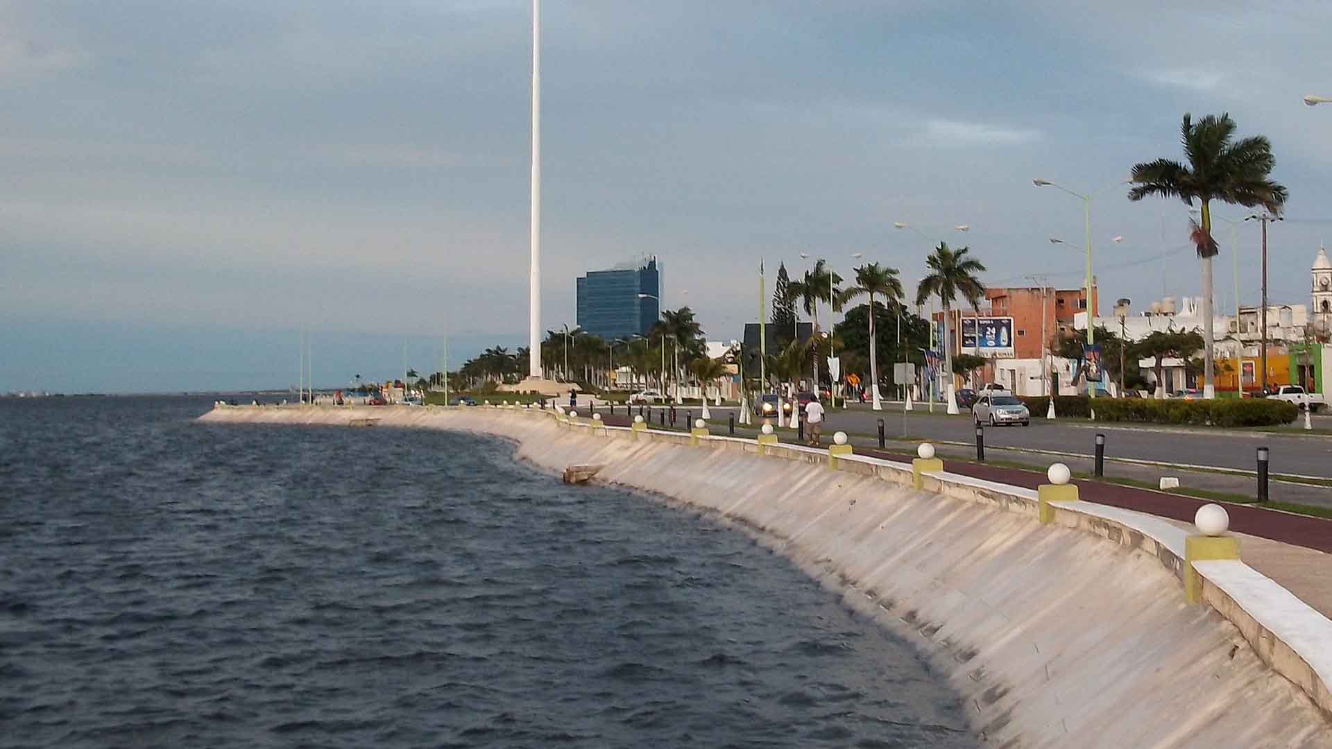
Invest 90L Brings Heavy Rains to Florida
South Florida has transitioned from a dry May to a wet June due to a disturbance from the Gulf of Mexico, designated as Invest 90L.

Source: Pixabay
This system has brought substantial rainfall, with some areas receiving up to 11 inches. The heavy rains have provided much-needed relief to drought-stricken regions.
Chances of 90L Developing
Invest 90L, moving off the Atlantic coast of Florida, has a slight chance of developing into a tropical depression or weak tropical storm.
Source: Getty Images
Favorable conditions include warm sea surface temperatures and a moist atmosphere. However, strong upper-level winds may prevent significant development.
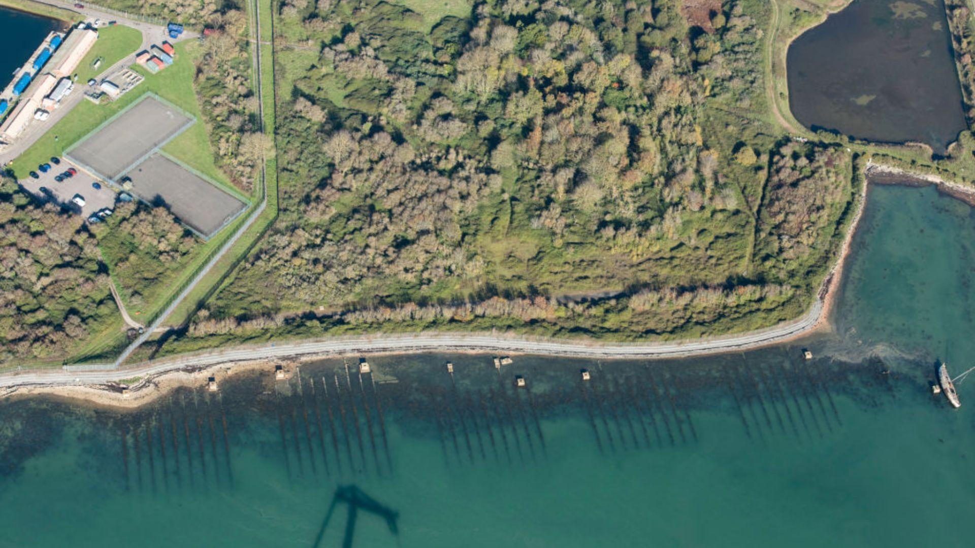
Monitoring the Bay of Campeche
The Bay of Campeche presents a better chance for the Atlantic’s first named storm of 2024.
Source: Joaquín Martínez Rosado/Wikipedia
A disturbance is expected to form at the end of a frontal zone stretching from Florida across the Gulf. The NHC has estimated a 30% chance of a tropical depression developing in this area over the next seven days.
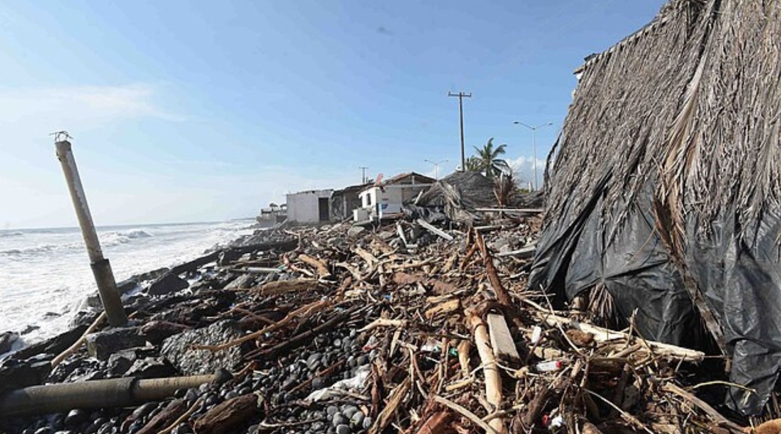
Potential Cyclone Off Southern Mexico
The Central American Gyre, which may contribute to development in the Bay of Campeche, could also spawn a tropical cyclone off the coast of southern Mexico and western Guatemala.

Source: Wikimedia Commons
Heavy rains are expected in these regions, regardless of cyclone formation, at least providing relief to drought-affected areas.
Drought Relief in Florida and Mexico
The heavy rains from Invest 90L in Florida and potential tropical disturbances in Mexico are bringing much-needed relief to drought-stricken areas.

Source: Freepik
Florida has been experiencing moderate to severe drought conditions, while Mexico is undergoing its most severe drought since 2012.
Near-Record Sea Surface Temperatures
Near-record sea surface temperatures around 82 degrees Fahrenheit are contributing to the potential development of tropical systems.

Source: Wikimedia
These warm waters provide the energy needed for tropical cyclones to form and strengthen.
Historical Comparisons
The slow start to the 2024 hurricane season is reminiscent of 1994 and 2009, the only other years since 1970 with such a late start.
Source: Presidencia de la República Mexicana/Wikimedia Commons
However, despite the delayed beginning, both years eventually saw significant hurricane activity later in the season.
Outlook for the 2024 Season
Meteorologists remain vigilant, anticipating that the slow start will give way to increased activity.

Johannes Plenio/Unsplash
The NHC continues to monitor potential developments, and residents in vulnerable areas are advised to stay prepared as the season progresses.
Impact of Strong Wind Shear
Strong upper-level winds, resulting in high wind shear, are a key factor inhibiting the development of tropical systems like Invest 90L.
Source: Reddit
Wind shear disrupts the organization of storms, making it difficult for them to consolidate and strengthen.
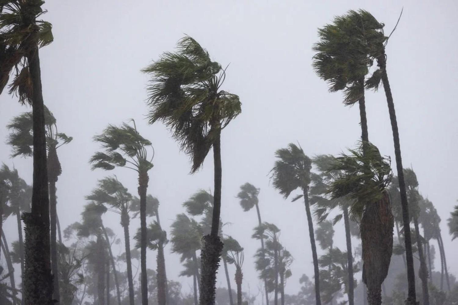
Preparing for the Unexpected
Despite the slow start, the 2024 hurricane season is projected to be busy. Residents in hurricane-prone areas should not let their guard down and should stay informed about potential developments as the season progresses.

Source: @decemergency/Instagram
Being prepared can make a significant difference in safety and resilience during hurricane events.