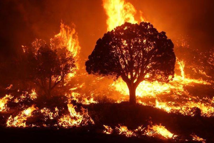
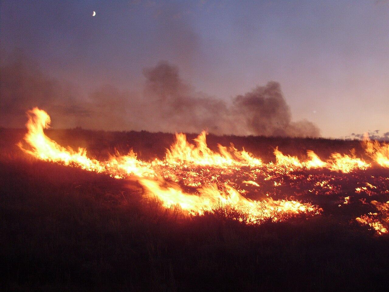
The Magnitude of the Park Fire
Initially reported at 239,152 acres on Friday, the Park fire exploded to 360,141 acres by late Sunday.
Source: Wikimedia
This rapid expansion makes it the seventh-largest wildfire in California’s history. The view from space emphasizes the fire’s immense scale.
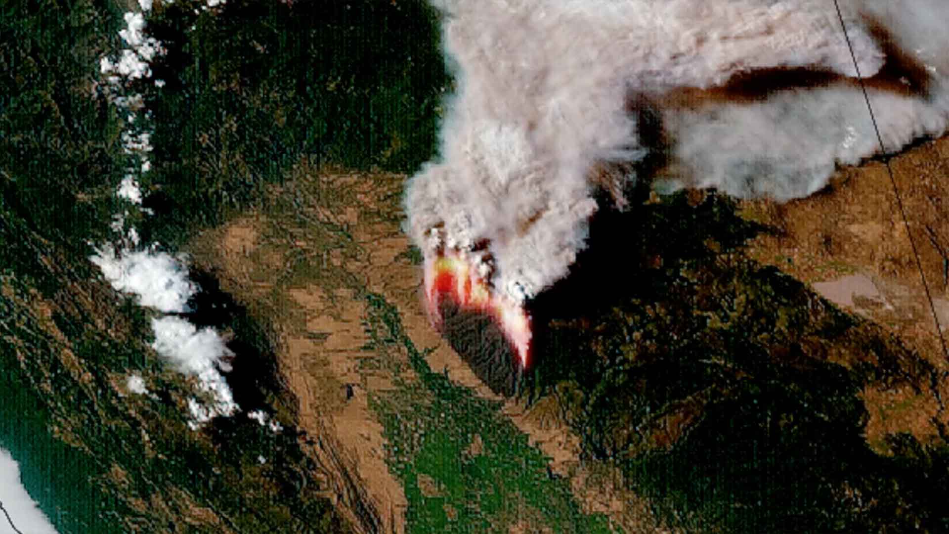
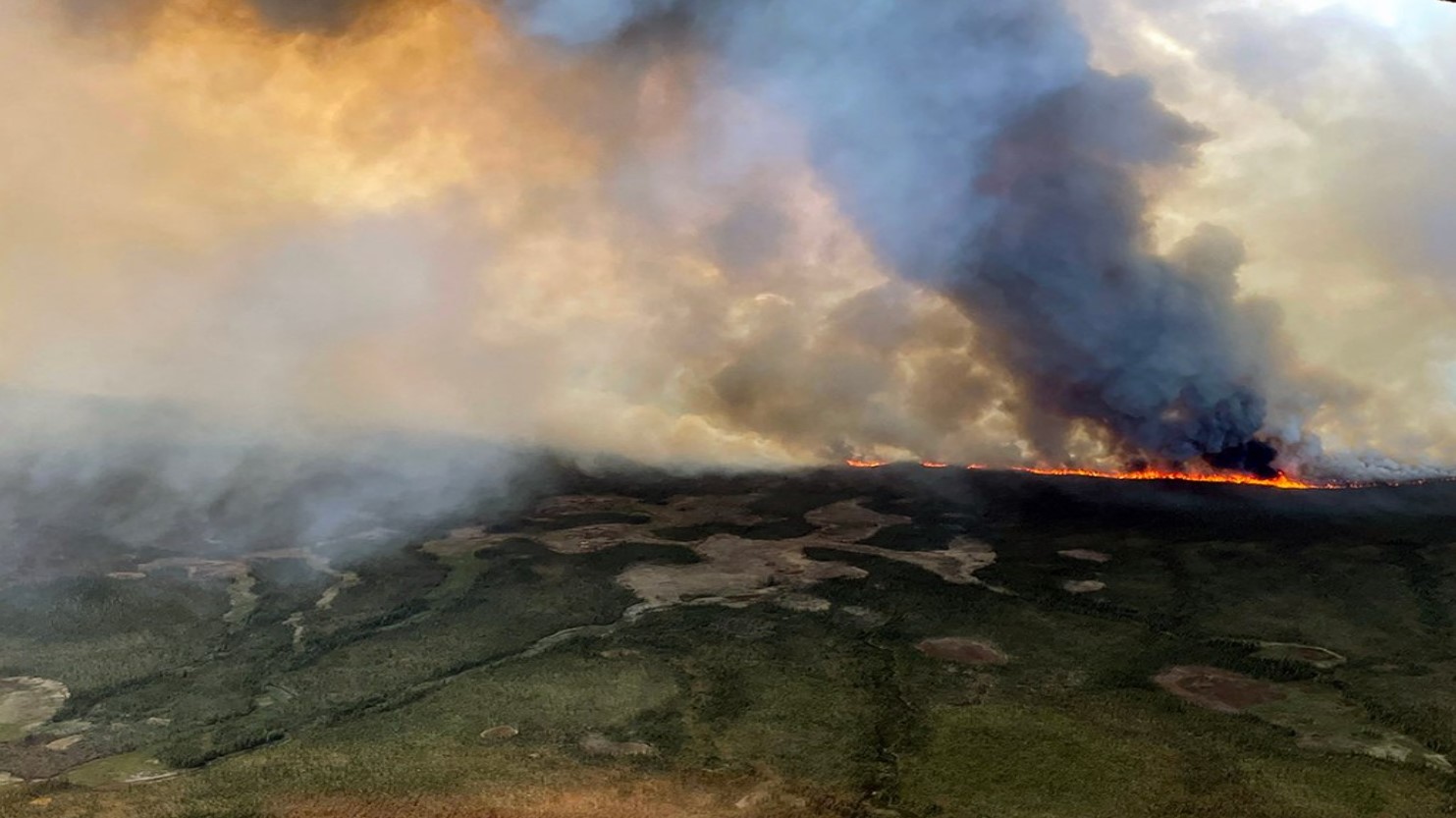
Smoke Plumes Visible from Space
The satellite images show thick plumes of smoke rising from the blaze.
Source: NOAA/LA Times
These dramatic visuals highlight the fire’s intensity and the vast areas affected by the smoke.
Communities in Peril
Evacuation orders were issued over the weekend, forcing thousands of residents in Chico and southern Tehama County to flee their homes.
Source: Matt Howard/Unsplash
The fire has already destroyed 67 structures, with an additional 4,200 still at risk. Despite the chaos, no injuries or deaths have been reported.
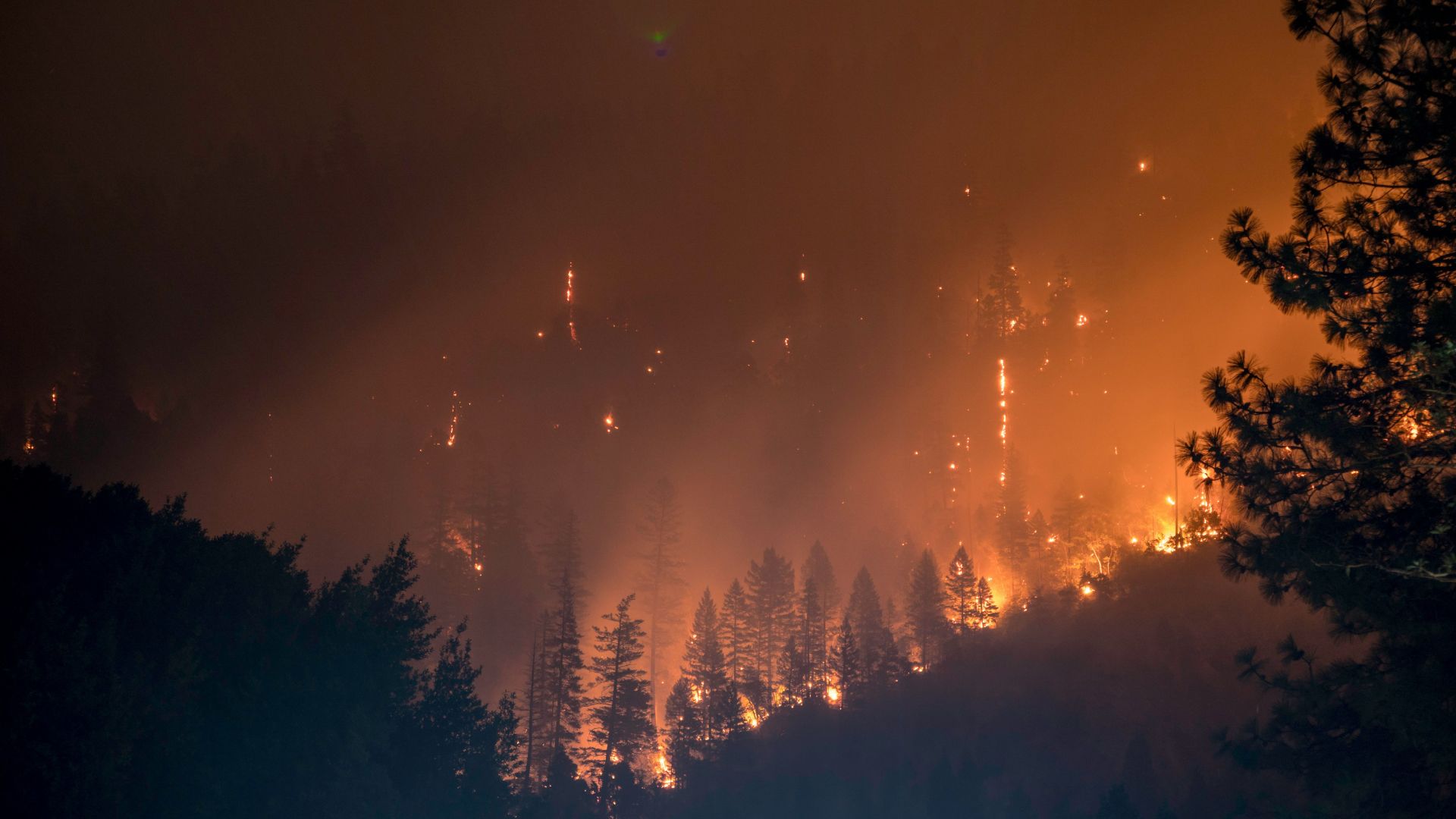
Containment Efforts Underway
By Sunday, firefighters had achieved 12% containment of the blaze.
Source: Matt Palmer/Unsplash
Cooler temperatures and favorable weather conditions over the weekend provided some respite, allowing firefighting teams to make progress in their battle against the fire.
A Shocking Act of Arson
A man was arrested on suspicion of arson on Thursday. Authorities allege that he pushed a burning car down a gully in Chico, triggering the massive fire.

Source: Scott Rodgerson/Unsplash
This act of arson added to the calamity, complicating firefighting efforts and investigations.
Satellite Technology at Work
Satellites play a major role in monitoring wildfires.

Source: SpaceX/Pexels
The National Oceanic and Atmospheric Administration’s satellite provided real-time data and visuals, aiding firefighting teams in strategizing their response to the rapidly spreading fire.
Fire's Impact on Air Quality
The massive plumes of smoke have significantly affected air quality in the region.
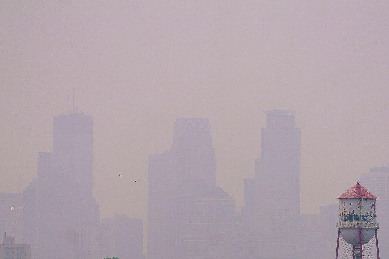
Source: Wikimedia
Residents in the surrounding areas experienced hazardous air conditions, prompting health advisories and evacuation warnings to prevent respiratory issues.
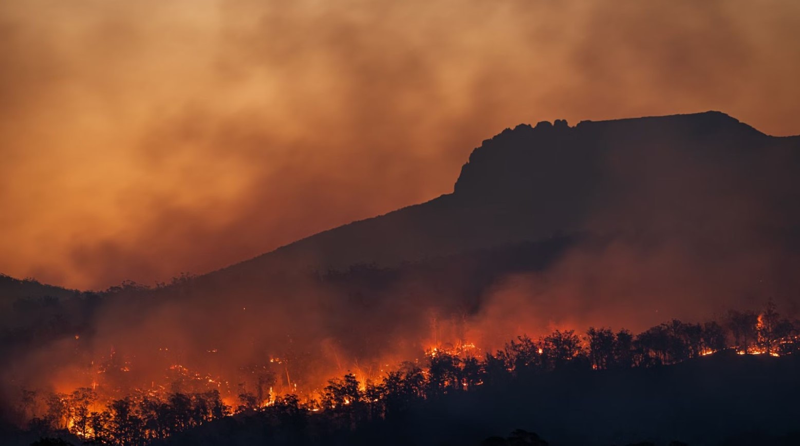
Recent California Wildfires
The Park fire is one of many devastating wildfires in California this year. Recent fires, including the Dixie and Caldor fires, have ravaged vast areas previously, displacing thousands and destroying homes.
Source: Wikimedia
These events highlight the increasing frequency and intensity of wildfires across the state.
Lessons from the Park Fire
The Park fire shows the importance of wildfire preparedness and prevention.

Source: @decemergency/Instagram
Authorities are urging residents to have evacuation plans and emergency kits ready, highlighting the need for proactive measures to mitigate wildfire risks.
Future Outlook
As firefighters continue to battle the blaze, efforts are focused on containment and recovery.
Source: National Interagency Fire Center/Wikipedia
However, as global temperatures rise and drought conditions persist, it’s likely that we will see more frequent and severe wildfires in the future.
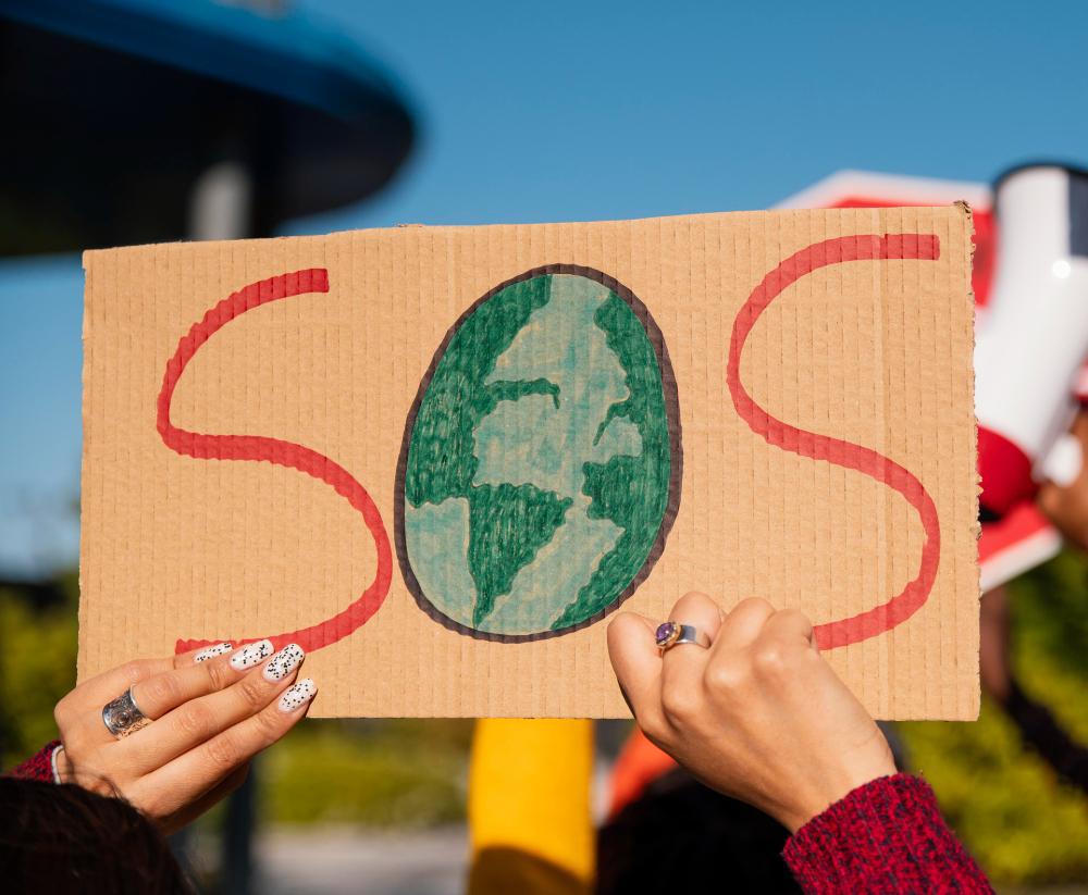
Climate Change and Wildfire Frequency
Experts attribute the growing wildfire crisis to climate change. Rising temperatures, prolonged droughts, and extreme weather conditions are creating a perfect storm for wildfires.
Source: Freepik
As these conditions worsen, the urgency for climate action and wildfire prevention strategies becomes ever more critical.