A Trio of Tropical Threats Looms
The National Hurricane Center (NHC) is currently tracking three potential tropical systems. One is located in the Caribbean, and two are forming in the central and eastern Atlantic.
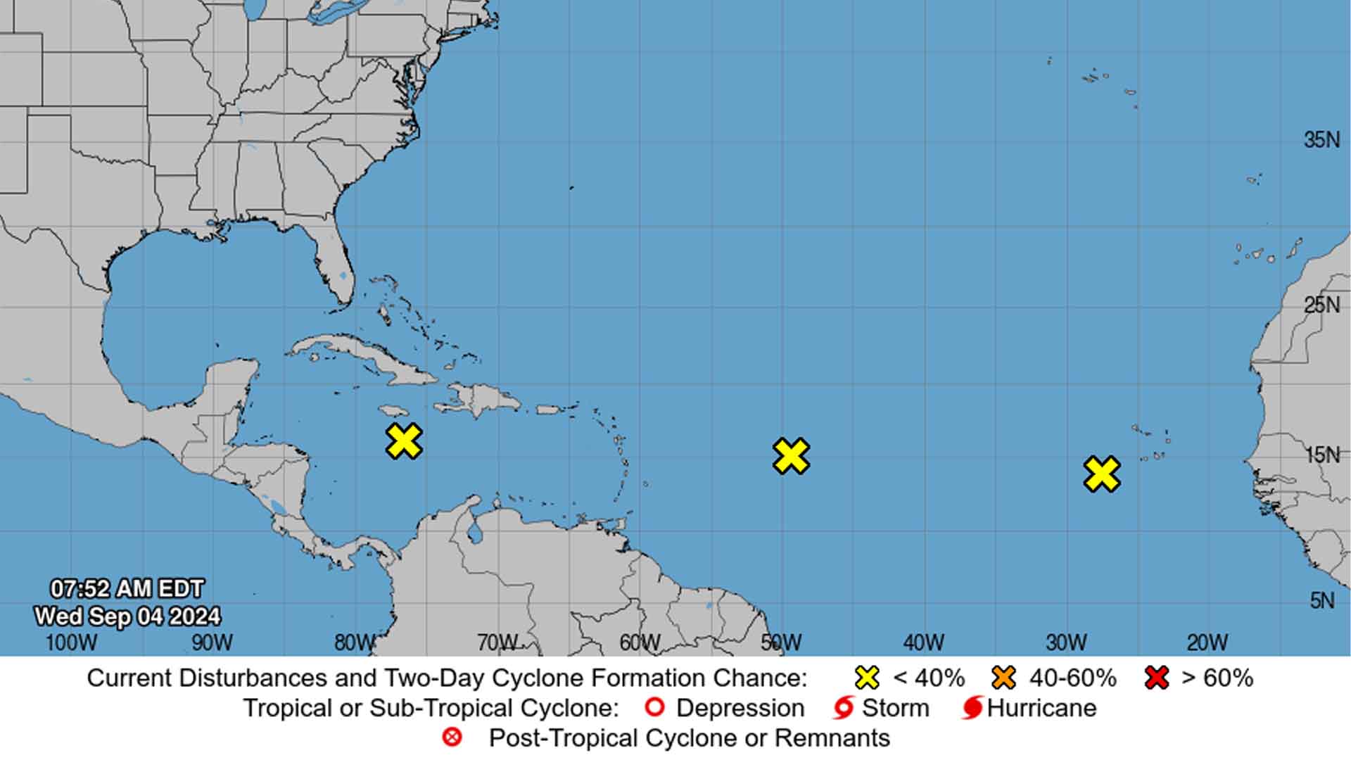
Source: NHC
None have been named yet, but they could still bring significant impacts.
Brewing Trouble in Paradise
A tropical wave in the central Caribbean Sea is causing disorganized showers and thunderstorms as it moves westward.

Source: Wikimedia
Meteorologists predict it might develop into a tropical storm later this week in the northwest Caribbean or the southwest Gulf of Mexico, where conditions could become more favorable.
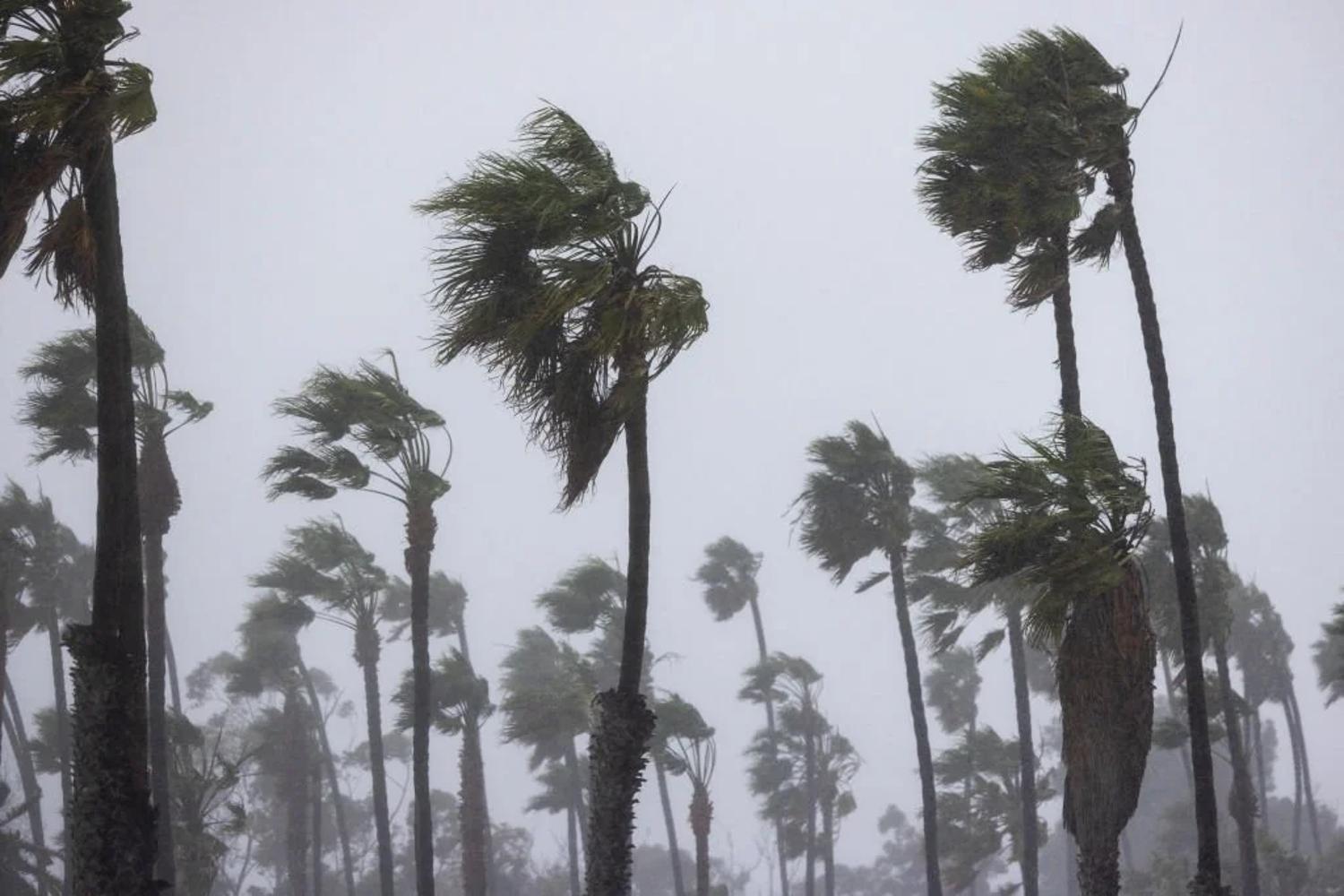
Impacts on Jamaica and Central America
Even if this Caribbean system doesn’t fully develop, it could still deliver heavy rains and gusty winds to Jamaica, parts of Central America, and Mexico.

Source: Tim Graham/Getty Images
The potential for localized flooding and stormy weather means residents should stay alert, particularly towards the weekend.
Uncertainty for the U.S. Coast
While the Caribbean system is under watch, it’s still unclear if it poses a direct threat to the U.S. coast. Forecasters are keeping a close eye, as conditions can change rapidly.
Source: Joe Raedle/Getty Images; NOAA/Wikipedia
“It is still uncertain what, if any, kind of threat this system might pose to the continental United States,” notes the NHC.
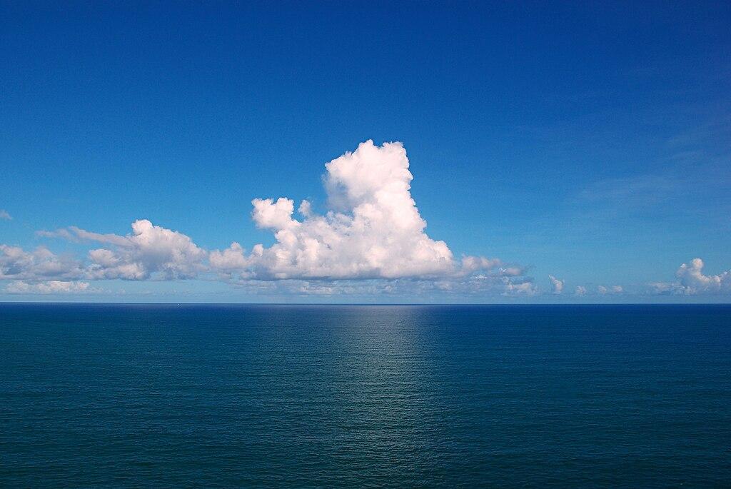
Slow Development Possible
Further out in the Atlantic, a disturbance swirling in the central ocean could slowly develop over the coming days.

Source: Muffin Creatives/Pexels
While the chances of it becoming a significant storm are low, it’s a reminder that the waters remain active during hurricane season’s peak.
A Watchful Eye
Closer to Africa, another system near the Cabo Verde Islands is garnering attention. With potential for rain and gusty winds, residents in the area should prepare for unsettled weather.

Source: Freepik
Again, the system’s future remains uncertain, but it’s moving westward, where conditions might become more conducive to development.
Texas and Louisiana Bracing for Rain
A third system just offshore from the upper Texas coast could bring heavy rains and thunderstorms to the Gulf region.
Source: Pixabay
While development into a tropical storm is unlikely, the NHC warns of potential flash flooding along the Texas and Louisiana coasts, as the system is expected to “meander near the coast for the next couple of days.”
A Quiet Season So Far
Despite these recent developments, the 2024 hurricane season has been relatively quiet.
Source: Freepik
This could change quickly as September progresses, especially given that “atmospheric and oceanic conditions have set the stage for an extremely active hurricane season,” according to NOAA.
Why September is the Busiest Month
September is known for its high hurricane activity due to warm ocean waters and favorable atmospheric conditions. These factors combine to create a perfect breeding ground for tropical storms and hurricanes.
Source: Eric Rothermel
As such, residents in coastal areas are advised to stay prepared throughout the month.
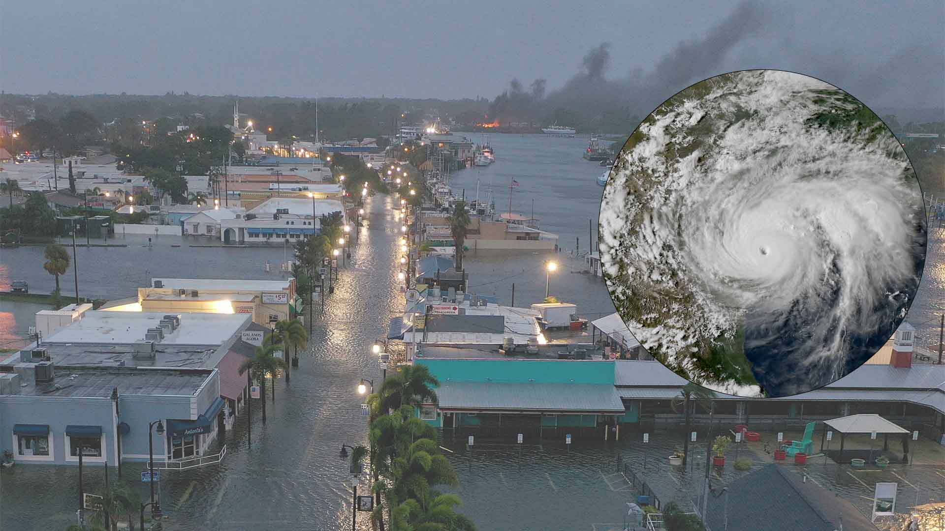
Hurricanes Ernesto and Beryl
Earlier in the season, Hurricane Ernesto caused life-threatening surf along the East Coast, while Hurricane Beryl became the earliest Category 5 hurricane on record, wreaking havoc across the Caribbean.
Source: Reddit
These storms were a grim reminder of the potential destruction hurricanes can bring.
Preparing for the Unknown
With three systems under observation and September underway, now is the time for preparation. Stocking up on essentials, securing property, and having a plan in place could make all the difference.
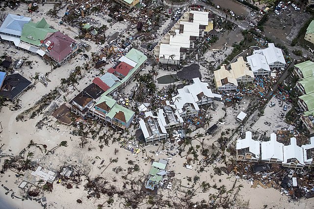
Sint-Maarten, 6 september 2017..Vlucht boven Sint-Maarten tbv het vaststellen van de schade van orkaan Irma. Tevens wordt een inschatting gemaakt van de gebieden waar de meeste hulp benodigd is, en waar schepen evt kunnen aanleggen..Foto: Verwoesting.
The NHC continues to monitor these systems closely, providing updates as conditions evolve.