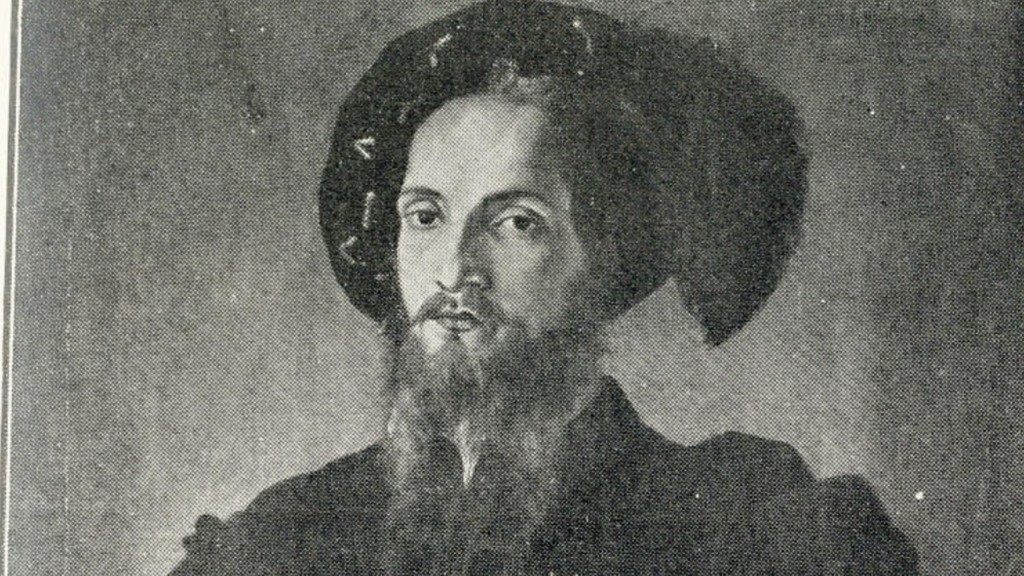
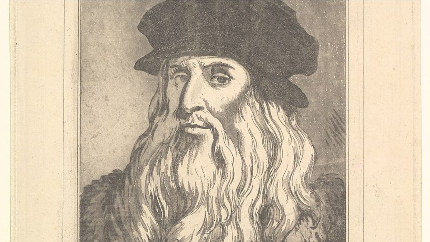
Transitioning from Milan to Florence
National Geographic reveals that upon returning to Florence after nearly two decades with Ludovico Sforza, Duke of Milan, da Vinci was nearing his 50s, but his reputation as a genius in both science and art was well-established.

Source: Wikimedia Commons
His notable works from this period include an innovative catapult design and “The Last Supper.”
The Patronage of Cesare Borgia
In 1502, Cesare Borgia, the son of Pope Alexander VI, enlisted da Vinci’s services, according to National Geographic.
Source: Wikimedia Commons
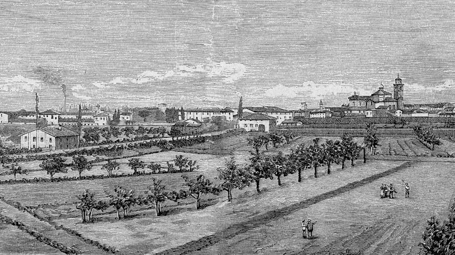
Tasked with mapping Imola, a strategic acquisition for Borgia, da Vinci was chosen for his brilliant mind to assist in understanding the geography and landmarks crucial for controlling the city. This task highlighted Da Vinci’s multifaceted genius in science, engineering, and the arts.
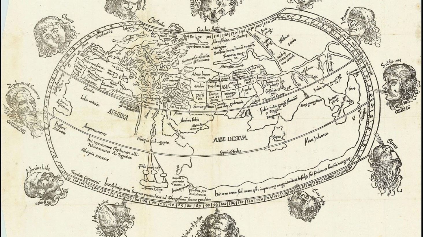
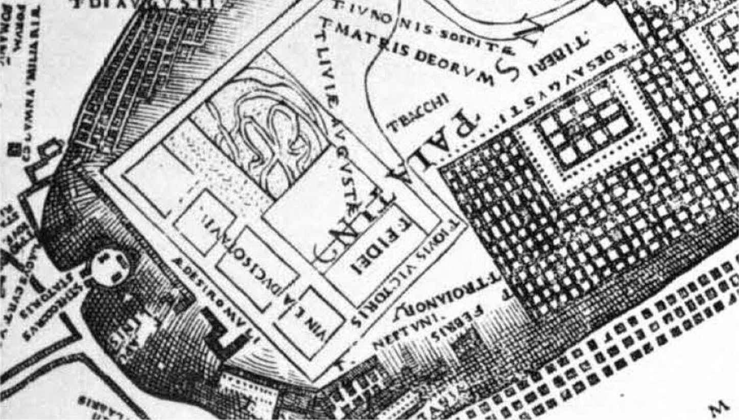
Challenging Traditional Cartography
A video published by Vox explains that during the 16th century, city maps were often more symbolic, exaggerating the prominence of religious buildings.
Source: Wikimedia Commons
Da Vinci’s plan for Imola departed from this tradition, aiming to create a map that was not only more practical but also a true reflection of the city’s actual layout, emphasizing the practical use of cartography over symbolic representation.
Adopting and Adapting Polar Coordinates
Da Vinci utilized the mapping technique of polar coordinates, initially proposed by the Florentine humanist Leon Battista Alberti, according to National Geographic.

Source: Wikimedia Commons
He adapted this technique to more accurately capture the distances, proportions, and relationships between features in the city of Imola, setting a new standard for map accuracy.
Ingenious Techniques without Modern Tools
The video by Vox explains that da Vinci’s approach to mapping Imola involved innovative techniques that mirrored modern-day satellite mapping, despite the absence of such technology.
Source: Wikimedia Commons
He is believed to have used a disk to measure angles and a compass for orientation, meticulously recording the details of the city’s layout through direct observation and measurement, a testament to his ingenuity.
The Central Piazza as a Starting Point
The city’s central piazza served as the focal point for Da Vinci’s mapping efforts.
Source: Wikimedia Commons
National Geographic reports that from this central location, he used a compass and odometer to measure the streets and landmarks, employing geometry to accurately depict the rest of the city. This methodical approach allowed da Vinci to create a detailed and accurate map.
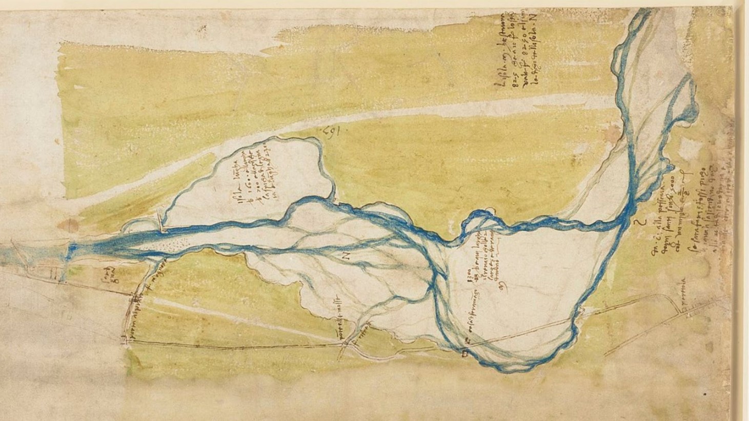
Creating an Ichnographic Map
According to National Geographic, da Vinci’s techniques culminated in the creation of the first ichnographic map, which represents a city as if viewed from above.
Source: Wikimedia Commons
This approach was revolutionary, providing a detailed and accurate “flattened city” view, a concept that modern cartographers still use today. Da Vinci’s measurements have been validated by historians as accurate enough to navigate Imola centuries later.
Setting the Stage for Future Cartography
Vox’s video explains that the map of Imola represented a significant advancement in the field of cartography.
Source: Wikimedia Commons
It was a practical tool for military and administrative use, offering a level of detail and accuracy that was unparalleled at the time. Da Vinci’s work paved the way for the development of more precise mapping techniques in the centuries to follow.
Influence on Future Generations
Da Vinci’s mapping technique had a lasting impact on cartography, inspiring future maps and their creators, who built on his methods.
Source: Wikimedia Commons
Vox highlights a map from 1551 by another cartographer, Leonardo Bufalini, that showcased the potential of da Vinci’s approach, despite some inaccuracies and artistic embellishments.
Precision and Artistic License
While Da Vinci’s map of Imola was groundbreaking for its precision, it also struck a balance between accuracy and artistic interpretation.
Source: Wikimedia Commons
The map accurately depicted the town’s walls and major structures but also included some creative liberties, particularly with the internal angles of the town, Vox notes.
The Enduring Legacy of Da Vinci's Map
Da Vinci’s map of Imola remains a landmark in the history of cartography, showcasing the potential of human ingenuity to overcome the technological limitations of the time, Vox explains.
Source: Wikimedia Commons
It stands as a milestone in the evolution from artistic representations of geography to accurate and functional maps.