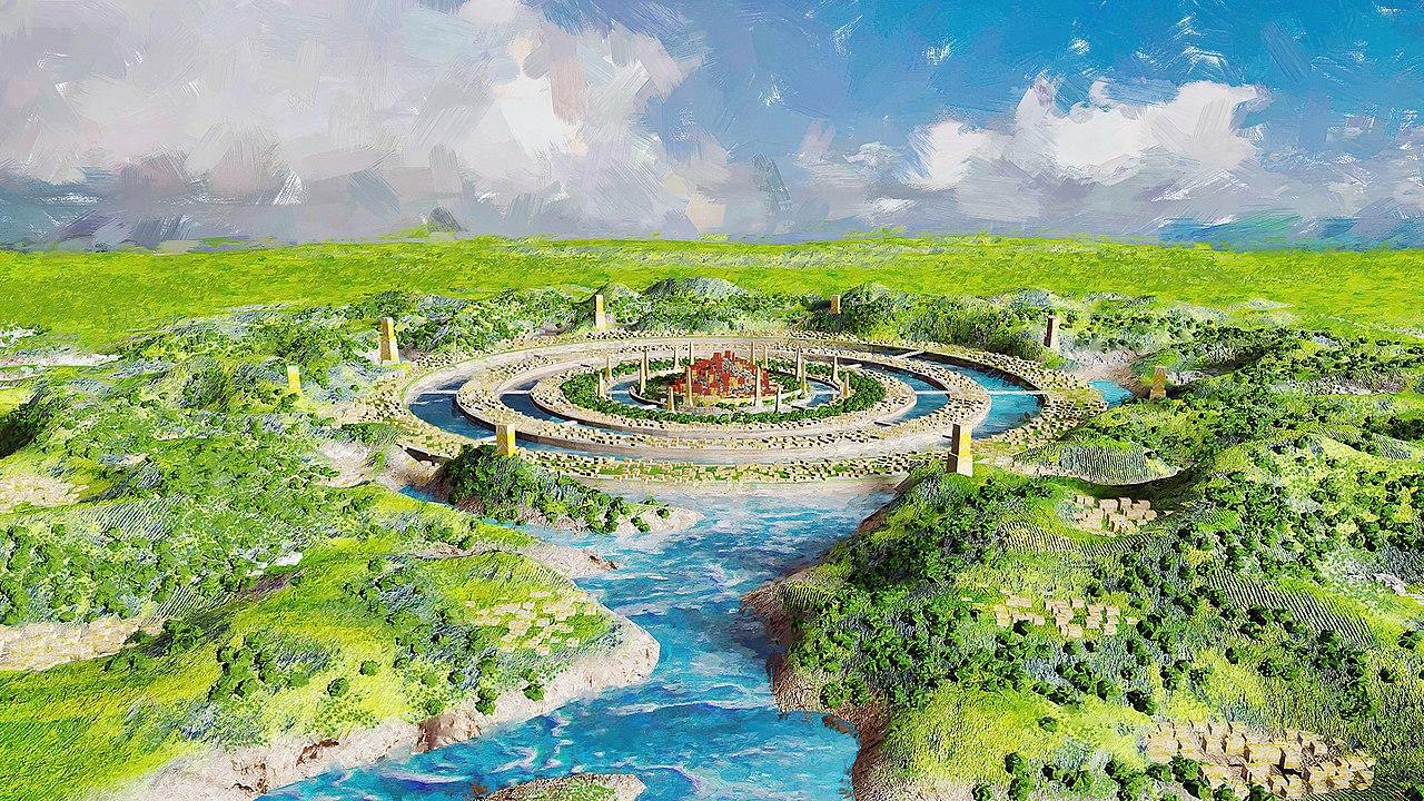
Lost Continents Throughout History
For thousands of years, scholars and philosophers have made reference to mysterious continents that supposedly disappeared during a great cataclysm, never to be seen again.
Source: Wikimedia
The most famous of these is Atlantis, mentioned by the Greek philosopher Plato in his writings Critias and Timaeus during the 4th century BCE. Despite the fascinating stories, researchers have never found evidence of such a continent amid the Atlantic Ocean.
Researchers Continue to Hunt for Lost Continents
While many of these theorized lost continents appear to be nothing more than mythological tales likely inspired by cataclysmic events, explorers such as the 17th-century Abel Tasman were convinced an 8th continent existed somewhere in the southern hemisphere.
Source: Wikimedia
Determined to locate the continent, Tasman left Indonesia in 1642 in hopes of becoming the first sailor to find it. Despite being the first European to discover New Zealand, his mission failed, and the so-called Terra Australis continent was nowhere to be found.
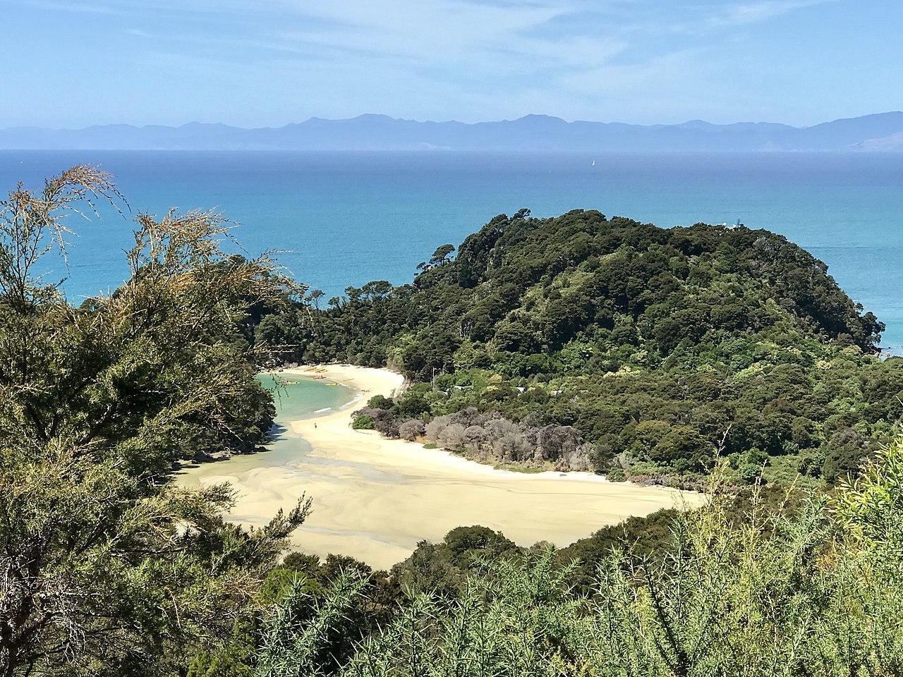
The Discovery of Zealandia
Tasman was convinced he had located the lost continent, yet today, we know he had simply made contact with the Maori of New Zealand.
Source: Wikimedia
However, the pioneer wasn’t wrong. It would just take another three centuries before scientists eventually announced the discovery of the lost continent known today as Zealandia.
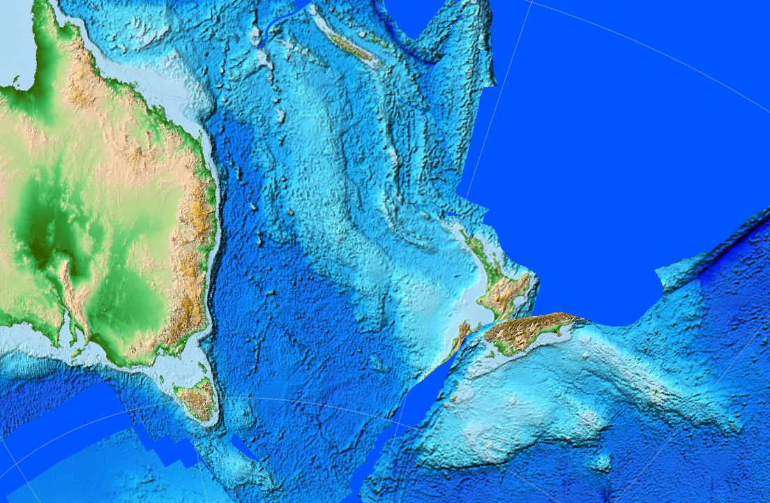
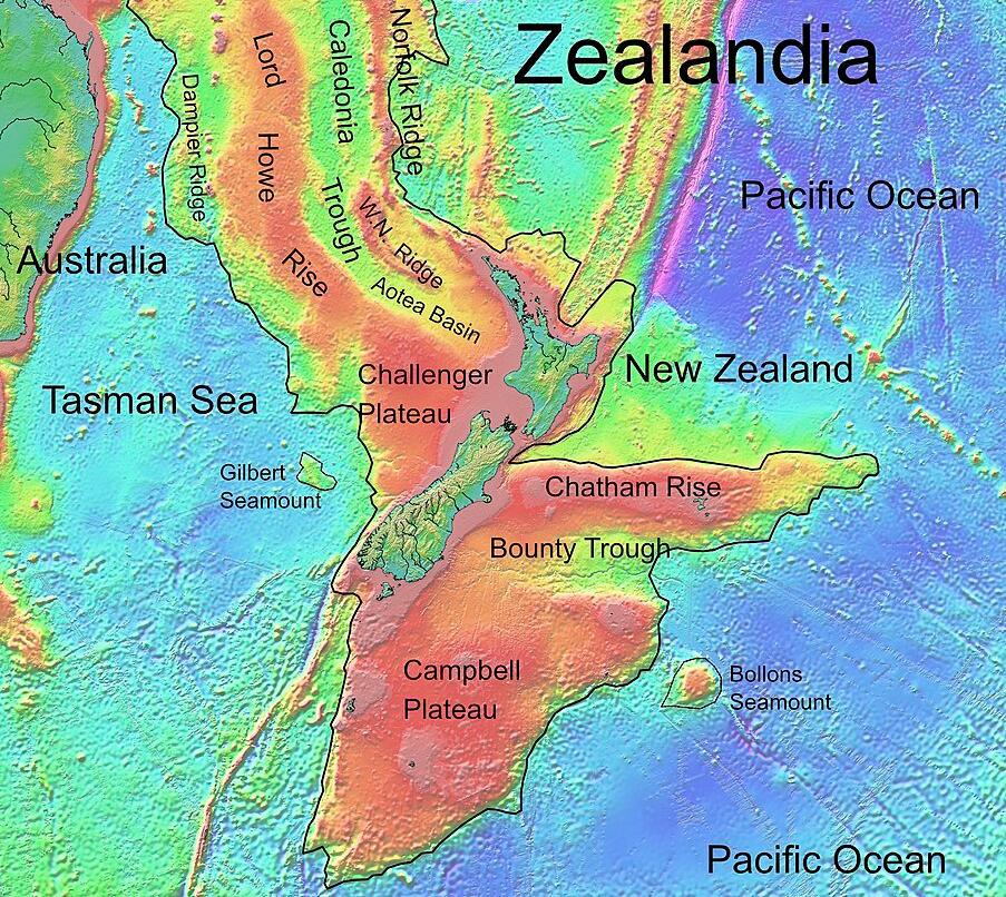
Zealandia: Earth’s Hidden Continent
In 2017, a group of geologists shared their groundbreaking discovery with the world. They had finally found credible evidence of an enormous lost continent in the Southern Hemisphere.
Source: Wikimedia
Dubbed Zealandia, or Te Riu-a-Māui in the Māori language, it had a vast amount of land equating to around 1.89 million square miles or six times the size of the island of Madagascar.
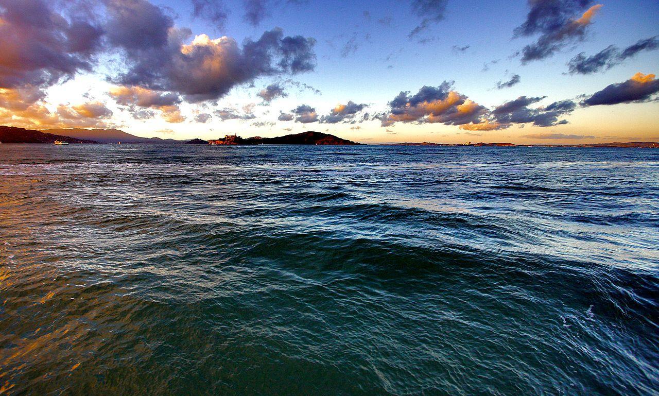
The Vast Majority of Zealandia Remains Under the Ocean
While we may ask how an entire continent remains hidden from the public eye, researchers propose there’s a reasonable explanation: over 94% of Zelandia lies beneath the surface of the Pacific Ocean.
Source: Wikimedia
Regarding the discovery, Andy Tulloch, a geologist at the New Zealand Crown Research Institute GNS Science, said, “This is an example of how something very obvious can take a while to uncover.”
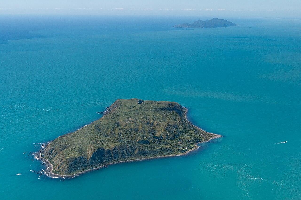
Zealandia Is Comprised of Just Three Countries
Regarding the unique aspects of Zealandia and its discovery, Nick Mortimer, a geologist at GNS Science who led the 2017 study, said, “It is kind of cool.”
Source: Wikimedia
He added, “If you think about it, every continent on the planet has different countries on it, [but] there are only three territories on Zealandia.”
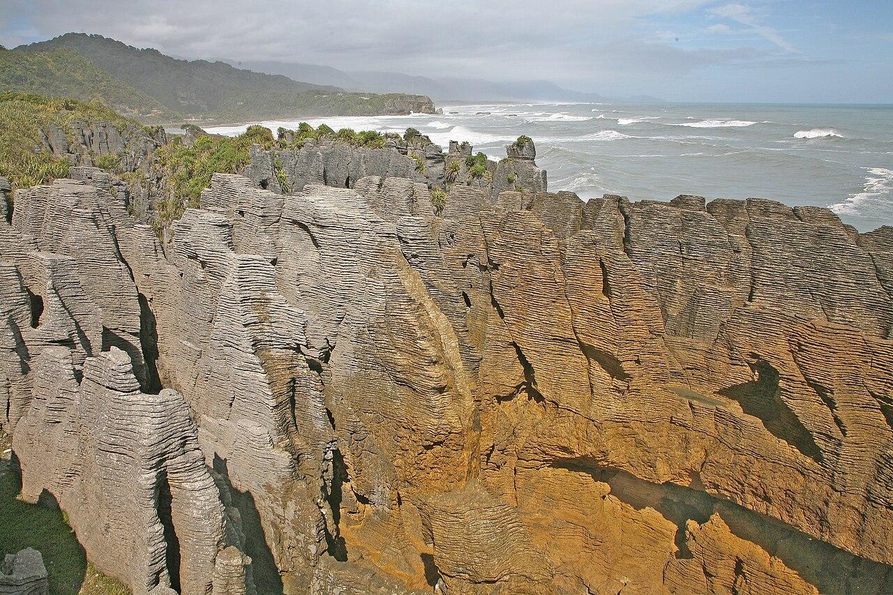
Lots to Learn About Zealandia
Researchers admit there is still a lot to learn about the previously lost continent. However, it’s challenging as most of its landmass is inaccessible.

Source: Freepik
Despite the challenges associated with their research, a team of scientists created a geological map of Zealandia that showcases its various terrains and geological makeup.
The Geological Makeup of Zealandia
The geologists used geophysical mapping methods coupled with rock samples retrieved from the sea to aid in their compilation of the map. It showcases unique features such as enormous sandstone formations and various deposits of basaltic rocks, piquing the interest of geology enthusiasts.
Source: Wikimedia
According to the researchers, the sandstones emerged around 95 million years ago and contain much older volcanic pebbles and granite deposits, which suggests that when Zealandia was above the ocean, rivers originating in the volcanic highlands filled up the tectonic basins below.
The Flooding of Zealandia
Geologists who compiled the map of Zealandia believe the continent was flooded gradually around 40 million years ago.
Source: Wikimedia
They shared their theory in a study published in the journal Tectonics. The study explained that the presence of basalt pebbles, which are typically associated with underwater volcanism, is sufficient evidence to suggest the continent was flooded.
Zealandia Was Part of Gondwana
Researchers are under the impression that Zealandia was once part of the Gondwana supercontinent, which once comprised all of the landmasses in the southern hemisphere.
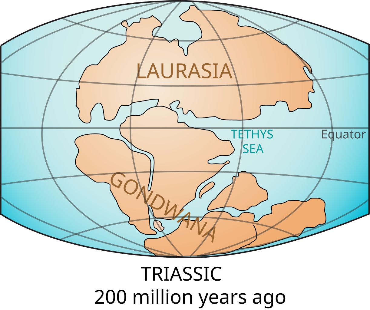
Source: Wikimedia
However, over 100 million years ago, Then around 105 million years ago, “due to a process which we don’t completely understand yet, Zealandia started to be pulled away,” said Tulloch.
Researchers Continue to Study Zealandia
Despite Zelandia’s thin crust and the vast majority of its landmass lying beneath the waves of the Pacific Ocean, geologists are confident it is a continent because of the various rocks found there.

Source: Freepik
Going forward, researchers will continue to study what they can of the content, using mapping techniques and examining portions of Zelandia’s landmass that remain above the ocean. Further investigations may shed valuable insight into the formation of continents and what leads to their eventual demise.