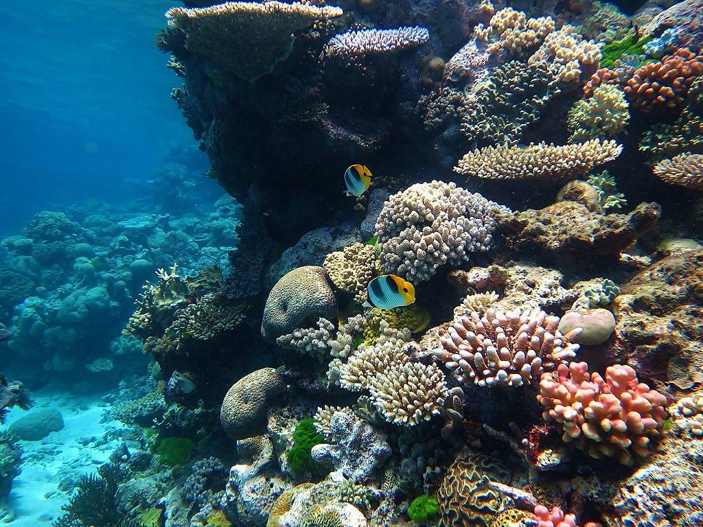
Coral Reefs Around the World
Coral reefs are ancient biological systems that first emerged well over 400 million years ago. Often defined as the rainforests of the oceans, they protect coastlines from storms and erosion while supporting diverse ecosystems, creating oxygen, and filtering water.
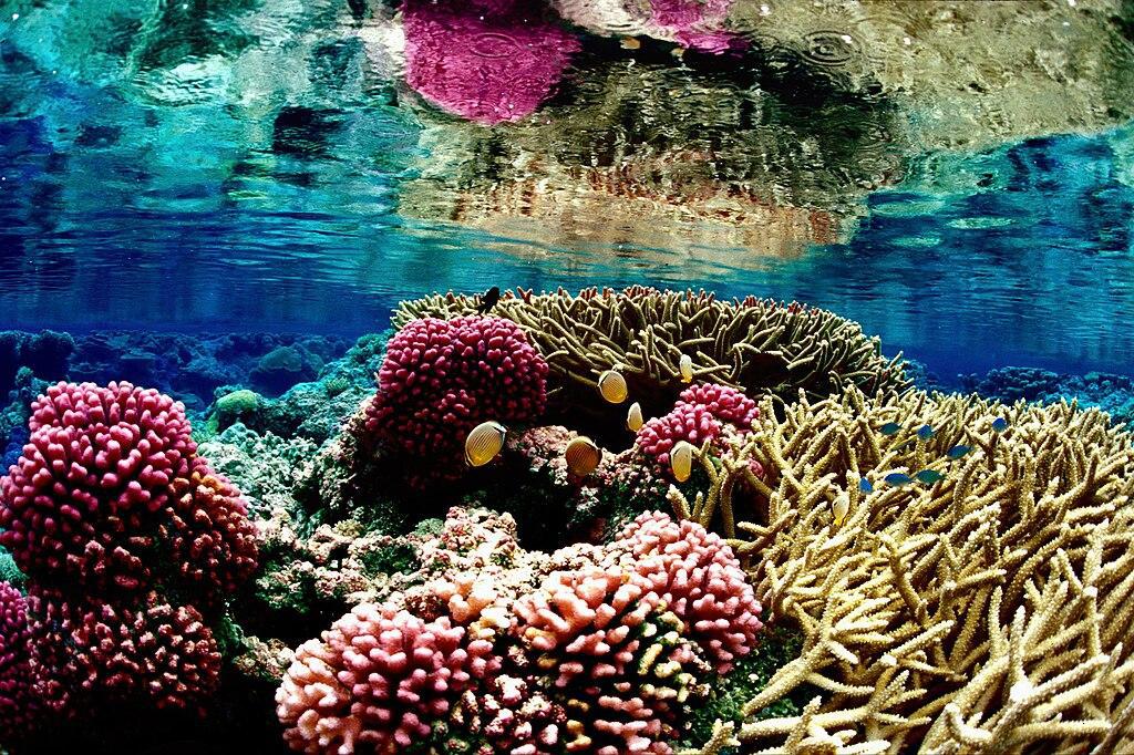
Source: Wikimedia
In recent years, scientists have highlighted how humans have endangered these vital ecosystems through coastal development and our effect on the climate, both of which have led to coral bleaching.
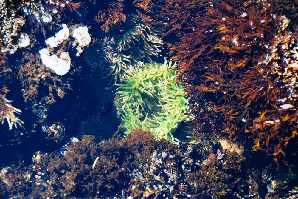
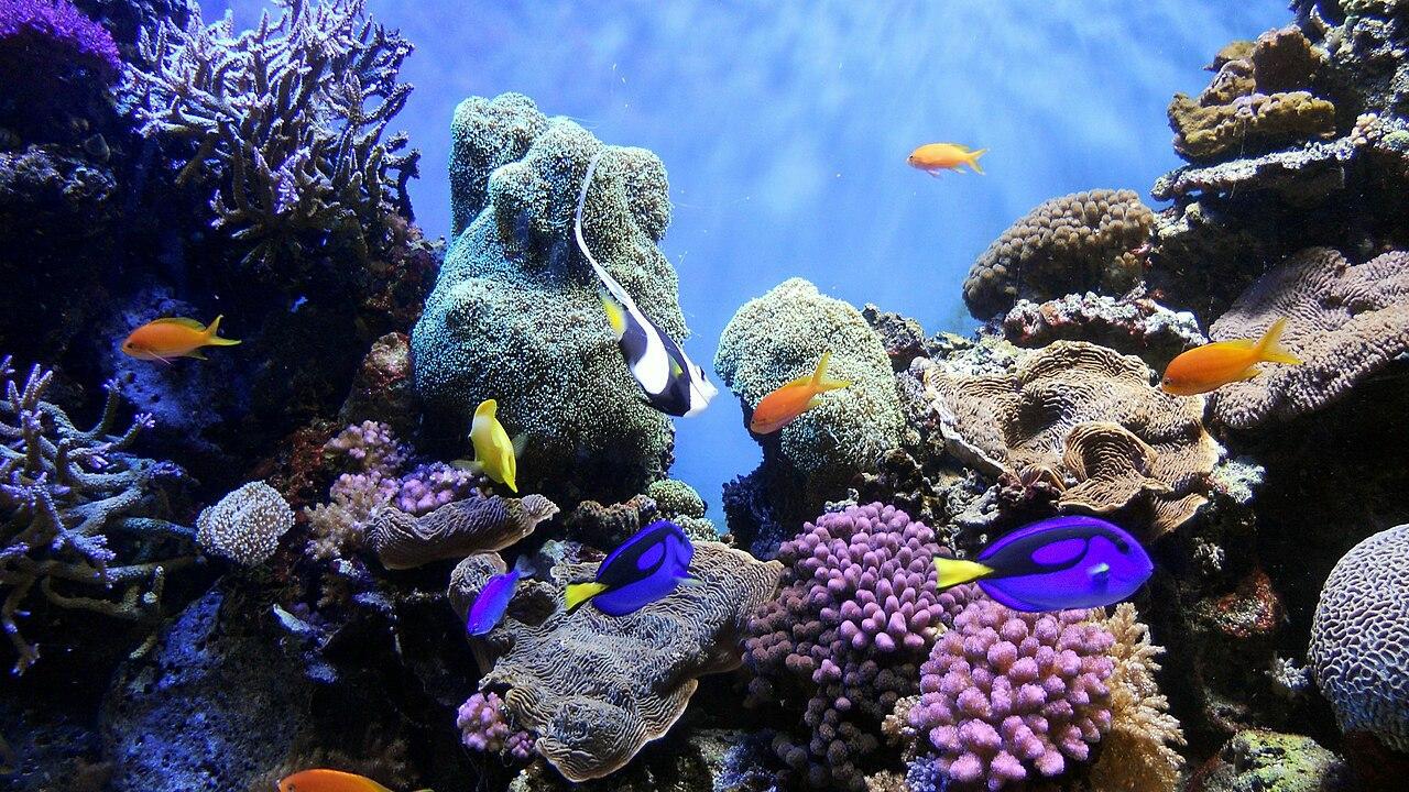
It's Not All Doom and Gloom
Despite the destruction of coral reefs, conservation efforts by world governments have helped give these once-thriving ecosystems a fighting chance. Some concentrations of coral have even begun healing themselves.

Source: Wikimedia
Now, a new study published in Cell Reports Sustainability is set to drastically alter our understanding of these ecosystems and help with their conservation efforts going forward.
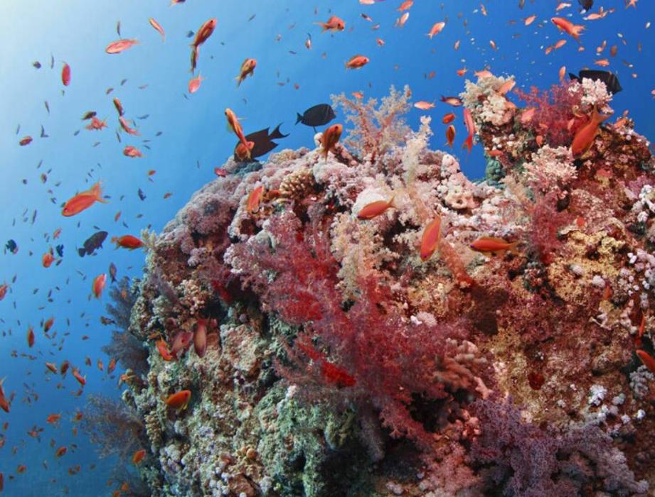
Scientists Discover an Extensive Amount of Previously Undetected Coral Reefs
Dr. Mitchell Lyons, a researcher from Queen’s University’s Schools of the Environment, revealed scientists have recently discovered over 216,000 square miles of previously undetected coral reefs.

Source: Wikimedia
Lyons, a contributor to the Allen Coral Atlas Project, also detailed shallow coral reefs that extend up to 100 feet beneath the ocean’s surface.
Revision of Estimated Amount of Shallow Coral Reefs
Regarding the implication of the new findings, Dr. Lyon explained, “This revises up our previous estimate of shallow reefs in the world’s oceans.”
Source: Freepik
The discovery was made using detailed satellite mapping, which may provide researchers with valuable insight into the formation of these newly discovered reefs. “Importantly, the high-resolution, up-to-date mapping satellite technology also allows us to see what these habitats are made from,” he added.
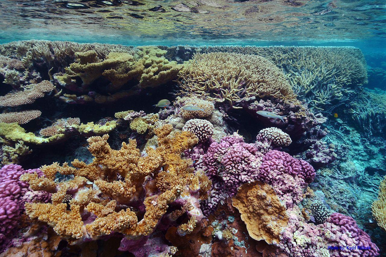
Scientists Discover Hard Bottom Reefs
Dr. Lyon detailed one significant part of the study, which led to the discovery of close to 50,000 square miles (80,000 square kilometers) of hard-bottom reefs, which are instrumental in coral growth.
Source: Wikimedia
“We’ve found 80,000 square kilometers of reef have a hard bottom, where coral tends to grow, as opposed to soft bottom like sand, rubble or seagrass,” he added.
Scientists Examine the Data Collected By Satellites
The scientists examined a high-resolution map of more than 1.5 million samples and around 100 trillion pixels from the Sentinel-2 and Planet Dove CubeSat satellites, leading to their fascinating discovery.

Source: Freepik
“This data will allow scientists, conservationists, and policymakers to better understand and manage reef systems,” he said.
A Positive Change for Coral Reefs
Regarding the significance of the findings, Dr. Lyon said, “This is the first accurate depiction of the distribution and composition of the world’s coral reefs, with clear and consistent terminology.”
Source: Wikimedia
The scientist continued, “It’s more than just a map — it’s a tool for positive change for reefs and coastal and marine environments at large.”
New Study Reaches a Global Audience
According to Chris Roelfsema, an associate professor at Queens University, the mapping project has already been employed by several international conservation groups.

Source: Wikimedia
“The maps and associated data are publicly accessible through the Allen Coral Atlas and Google Earth Engine, reaching a global audience,” Dr. Roelfsema said.
Future Coral Reef Conservation Projects
Dr. Roelfsema continued by detailing several nations that had adopted and used the data to spearhead future coral reef projects.
Source: Wikimedia
“They’re being used to inform projects in Australia, Indonesia, the Timor and Arafura Seas, Fiji, Solomon Islands, Tonga, Vanuatu, Panama, Belize, Bangladesh, India, Maldives, Sri Lanka, Kenya and western Micronesia,” he said.
Empowering Scientists
The satellite images have armed policymakers and environmentalists with invaluable information, empowering them to make crucial decisions for the future preservation of coral reefs, as explained by Dr. Roelfsema.

Source: Freepik
“The details provided by these maps empower scientists, policymakers, and local communities to make informed decisions for the preservation of our coral reefs,” he added.
Preserving the Coral Reefs for Future Generations
The researchers involved in the study concluded that, thanks to the accessible data shared with scientists worldwide, we are now in the best possible position to implement effective conservation projects.
Source: Wikimedia
These will safeguard oceanic ecosystems for future generations and set a new standard for preserving coral reefs.