El Niño and La Niña
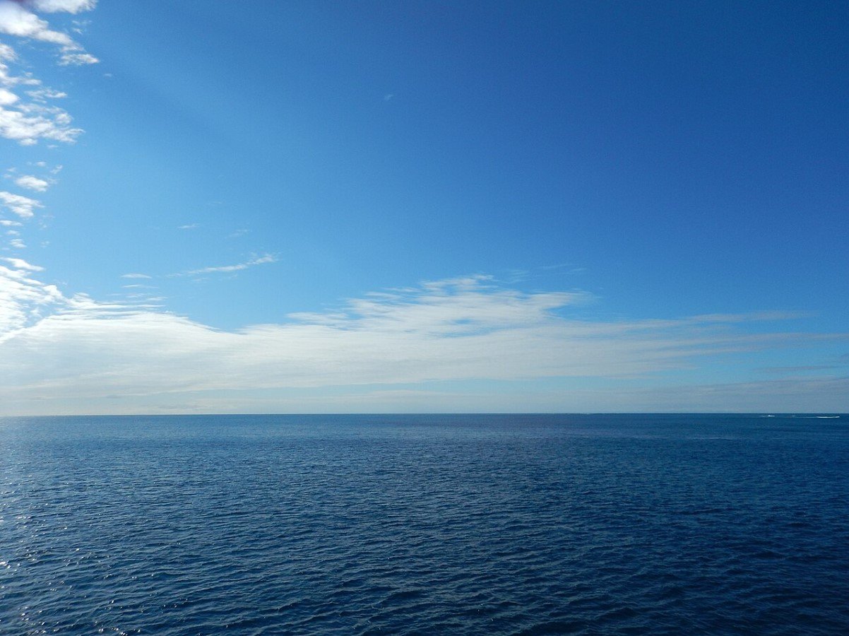
During standard weather patterns in the Pacific Ocean, trade winds generally blow west along the equator’s line, pushing the warmer water from South America toward Asia.

Source: Wikimedia
Cold water then rises from the depths of the Pacific Ocean to replace this in a process known as upwelling to researchers. El Niño and La Niña are two distinct weather patterns that break up these regular conditions.
El Niño-Southern Oscillation (ENSO) Cycle
Scientists call these particular phenomena the El Niño-Southern Oscillation (ENSO) cycle.
Source: Freepik
According to the National Oceanic and Atmospheric Administration, El Niño and La Niña events can dramatically impact global weather, ecosystems, wildfires, and, ultimately, the economy. They occur every two to seven years and typically last nine to 12 months once they arrive.
What’s Expected During the El Niño Event
Researchers have been carefully studying the El Niño and La Niña events over the past century and have gained a fair understanding of the phenomenon. Fishermen from South America first noticed periods of warm water in the Pacific Ocean back in the 1600s, which is a telltale sign an El Niño event is occurring.

Source: Freepik
During an El Niño event, which translates as ‘little boy’ in Spanish, trade winds slowly weaken, and warmer ocean water is pushed back towards the Americas from the Far East.
El Nino Affects Weather Patterns
According to scientists who have studied the phenomenon, the El Niño event can dramatically affect the weather in North America.
Source: Ben Amstutz/Flickr
“The warmer waters cause the Pacific jet stream to move south of its neutral position. With this shift, areas in the northern U.S. and Canada are dryer and warmer than usual,” wrote the NOAA.
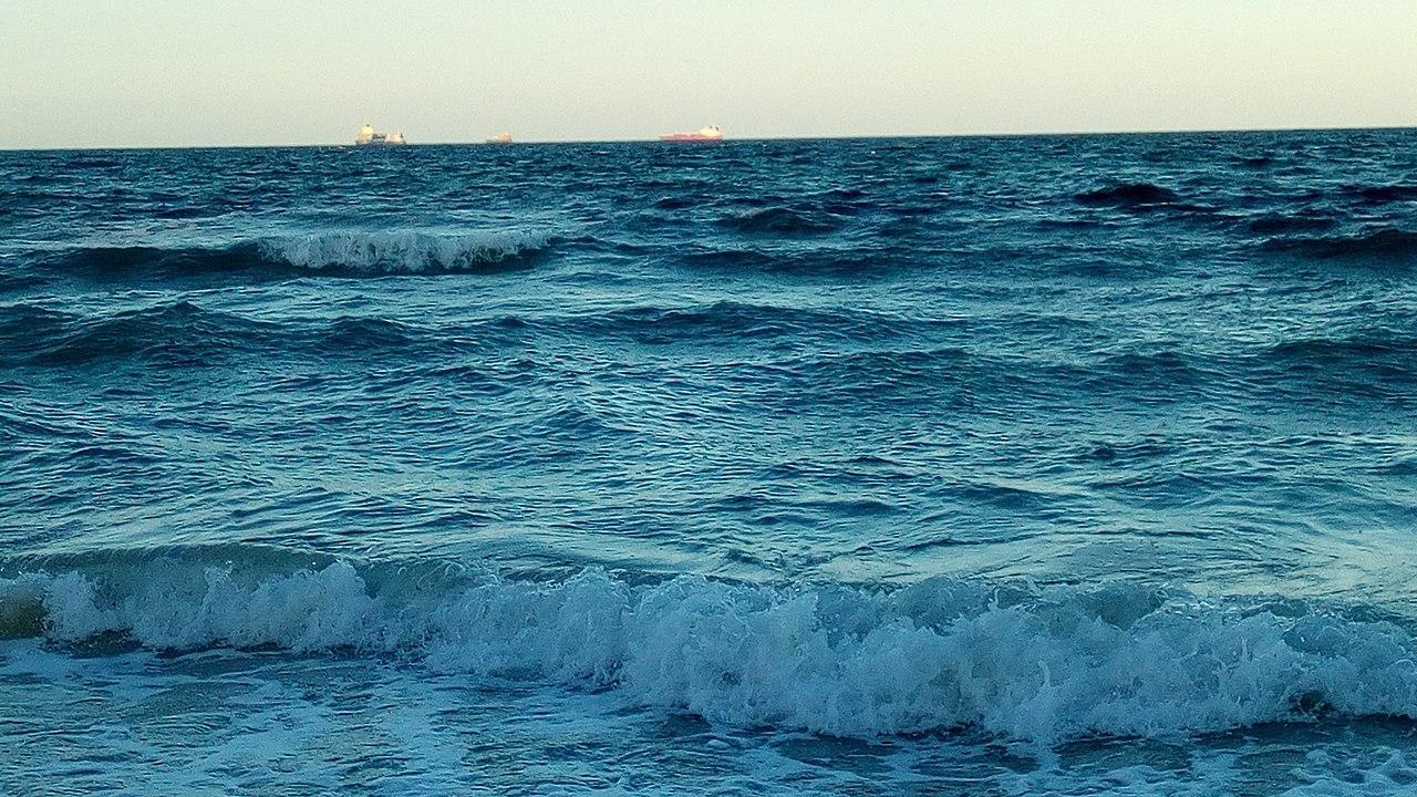
Weather Event’s Strong Effect on Marine Life
During regular weather conditions, upwelling brings cold and nutrient-dense water from the depths of the Pacific Ocean to the surface. However, during the El Niño, there is little to no upwelling.
Source: Wikimedia
This results in fewer phytoplankton off the coast, which is an integral part of the food chain in the Pacific. The warmer waters also allow tropical species, such as albacore and yellowtail tuna, to thrive in the region.
The End of the El Nino Event
The Pacific experienced a powerful El Niño in June 2023, and now researchers are preparing for the transition to La Niña.

Source: wirestock/freepik
El Niño is a natural event, marked by warmer ocean temperatures in the Pacific, reached its peak earlier this year, contributing to record-breaking global temperatures and significant weather events.
Entering the Neutral Phase
As El Niño fades, we are currently in a neutral phase with no dominant climate pattern.

Source: Wikimedia
According to NOAA’s Climate Prediction Center, this neutral period is temporary, with La Niña expected to take over by late summer.
The Arrival of La Niña
La Niña, El Niño’s cooler counterpart, is predicted to develop by September.
Source: Getty Images
Historically, La Niña conditions lead to cooler ocean temperatures and can significantly influence weather patterns, especially during the peak of the hurricane season.
Little Girl
In the same manner as El Niño, La Niña is a Spanish term meaning ‘Little Girl.’ It is sometimes referred to as El Viejo, anti-El Niño, or even “the cold event.”
Source: Wikimedia
La Niña’s effects on the weather are the complete opposite of El Niño. According to NOAA, “trade winds are even stronger than usual, pushing more warm water toward Asia. Off the west coast of the Americas, upwelling increases, bringing cold, nutrient-rich water to the surface.”
Effects La Niña Has on the US
The powerful La Niña weather event can have serious consequences for the US. As colder-than-normal Pacific waters push the jetstream north, this can lead to drought across the southern portion of the United States.

Source: Todd Diemer/Unsplash
Heavy rains, flooding, and an increased chance of hurricanes are also expected in the Pacific Northwest and as far away as Canada. However, during a La Niña year, scientists typically expected the South to experience warmer weather, whereas the North would remain cooler.
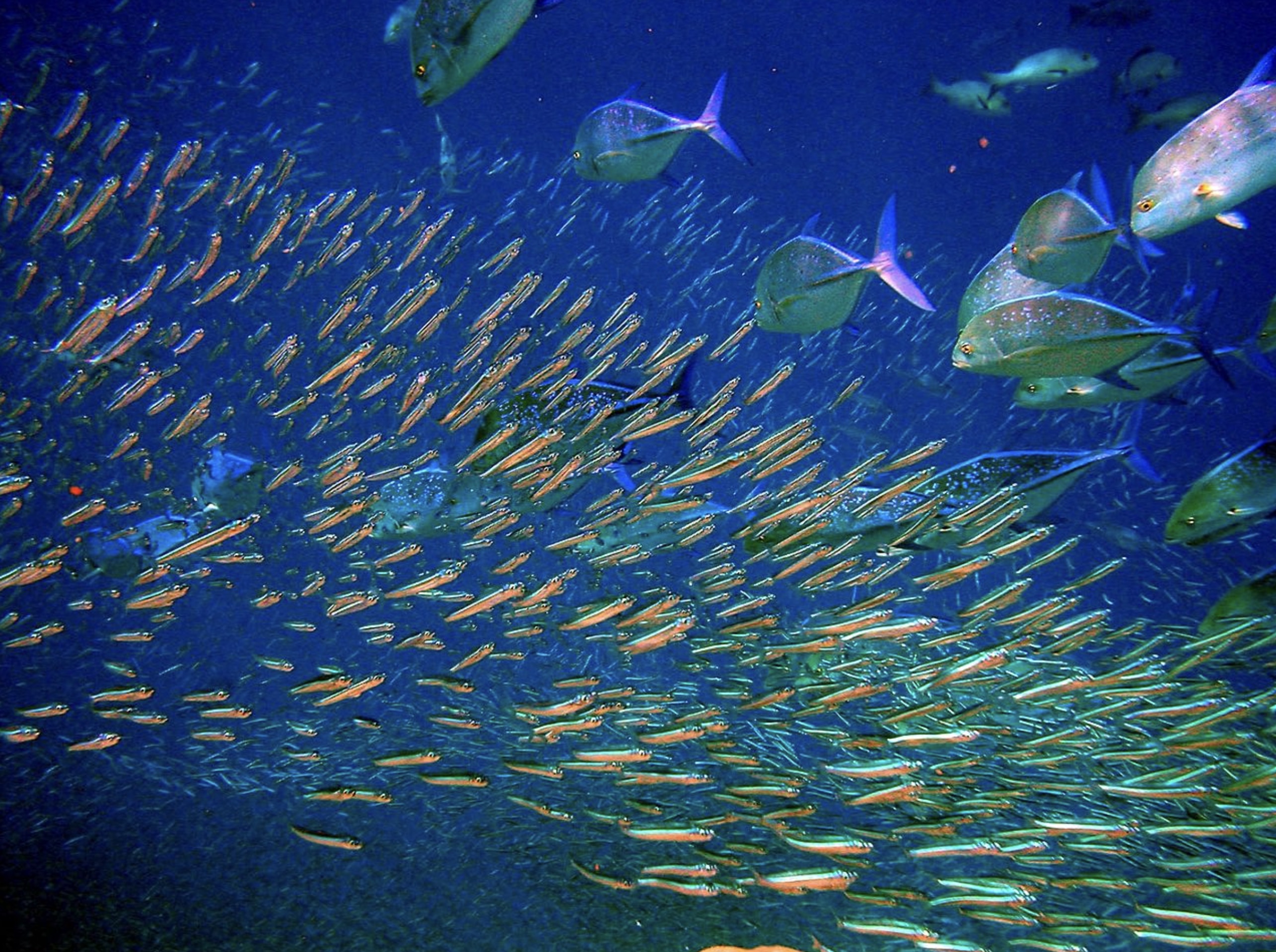
Effect La Niña Has on Wildlife
Like its counterpart, the La Niña event can have a considerable effect on the coastal regions of the Pacific Ocean, which are now colder and contain more nutrients.

Source: Freepik
According to the NOAA, “This environment supports more marine life and attracts more cold-water species, like squid and salmon, to places like the California coast.”
La Niña Predictions
While it can be difficult to predict when exactly the La Niña event will set in, if at all, as there is a minor chance it doesn’t materialize at all, weather forecast experts have suggested there is a 55% chance it will arrive between June and August.

Source: Freepik
However, this figure jumps to nearly 80% for the three-month period of September to November, suggesting experts are almost certain La Niña is on its way.
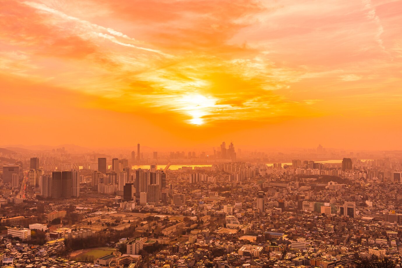
Hot Summers Ahead
Following strong El Niño winters, summers in the US have often been among the hottest on record.
Source: Wikimedia
This summer is expected to be no different, with above-average temperatures forecasted for nearly all of the Lower 48 states.
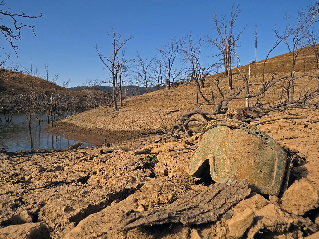
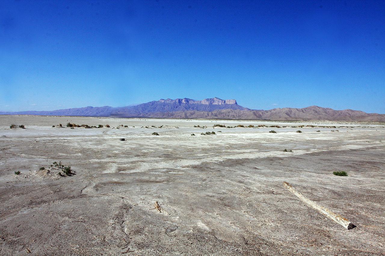
Drier Conditions in the West
The transition to La Niña is expected to bring drier than normal conditions to the western US.
Source: Bernard Hermant/Unsplash
Seasonal forecasts indicate that the western states and parts of the Plains will experience significant dryness, exacerbating the risk of drought.
Feedback Loop of Heat and Dryness
The combination of heat and dryness creates a cyclical effect.
Source: Freepik
Hotter conditions dry out the land, and dry land heats up more quickly, which can worsen drought conditions and lead to even higher temperatures.
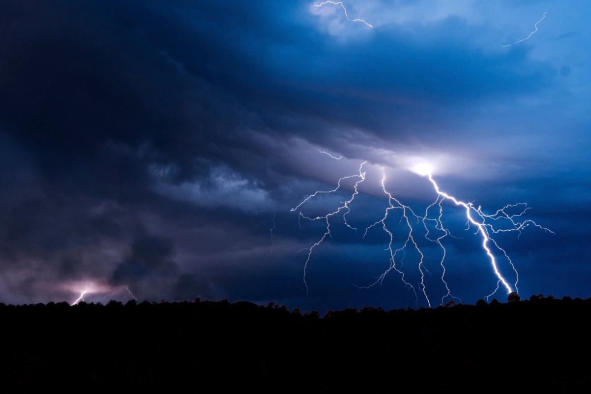
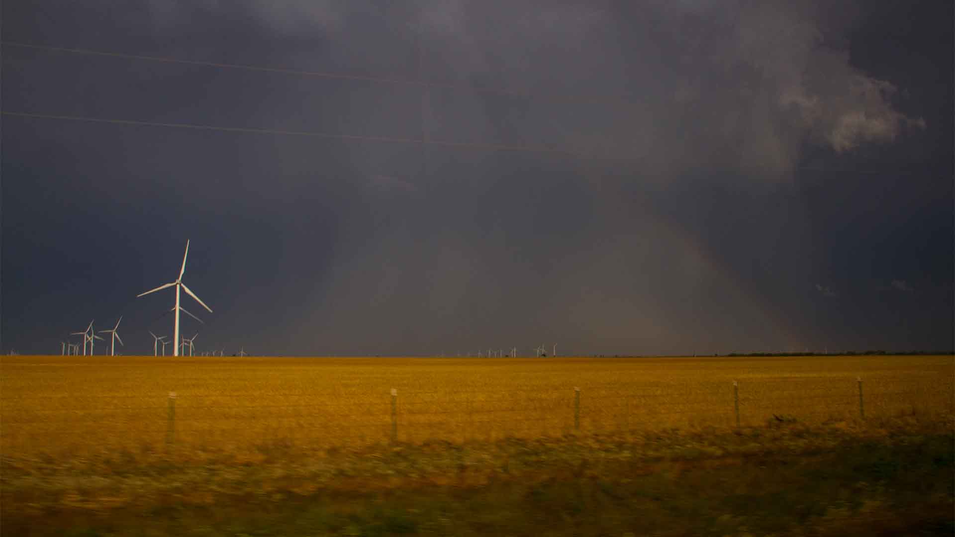
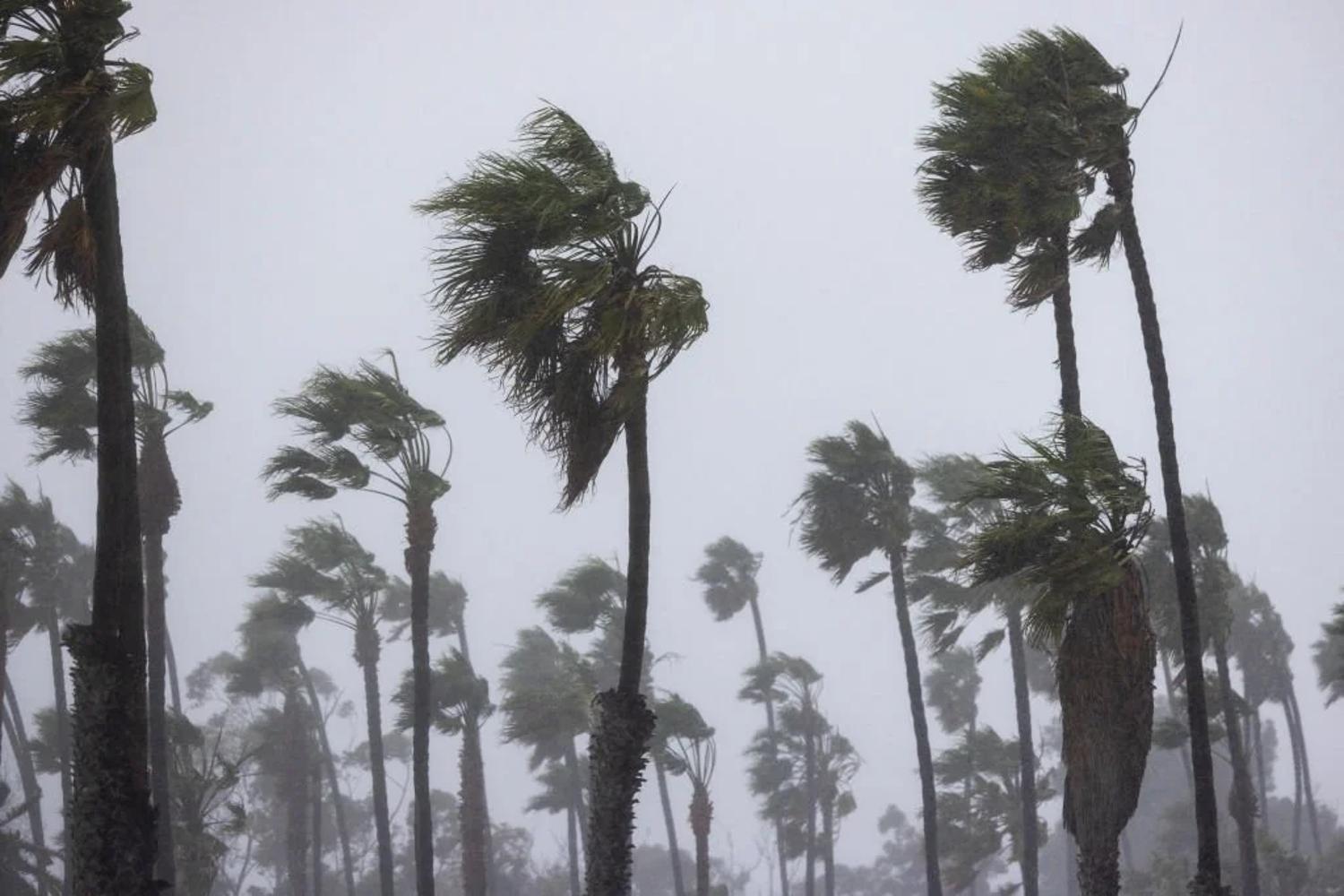
Impact on Hurricane Season
With El Niño no longer present to disrupt storm formation, experts are predicting a hyperactive hurricane season.
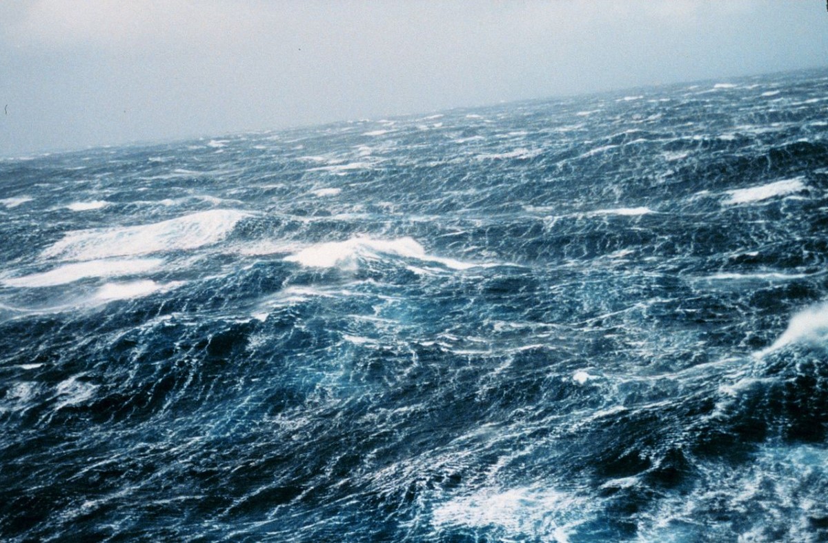
Source: Wikimedia
La Niña typically creates favorable conditions for storm development, increasing the likelihood of more frequent and intense hurricanes.
Record-Breaking Ocean Temperatures
The Atlantic Ocean has experienced record-breaking water temperatures, which act as fuel for storms.
Source: Wikimedia
This, combined with La Niña’s influence, could result in stronger and more persistent hurricanes this season.
El Niño's Lasting Effects
Despite its end, El Niño’s impact lingers.
Source: Wikimedia
It significantly contributed to global temperature records and influenced extreme weather events over the past year, from severe droughts in Africa to record-low levels of the Amazon River.
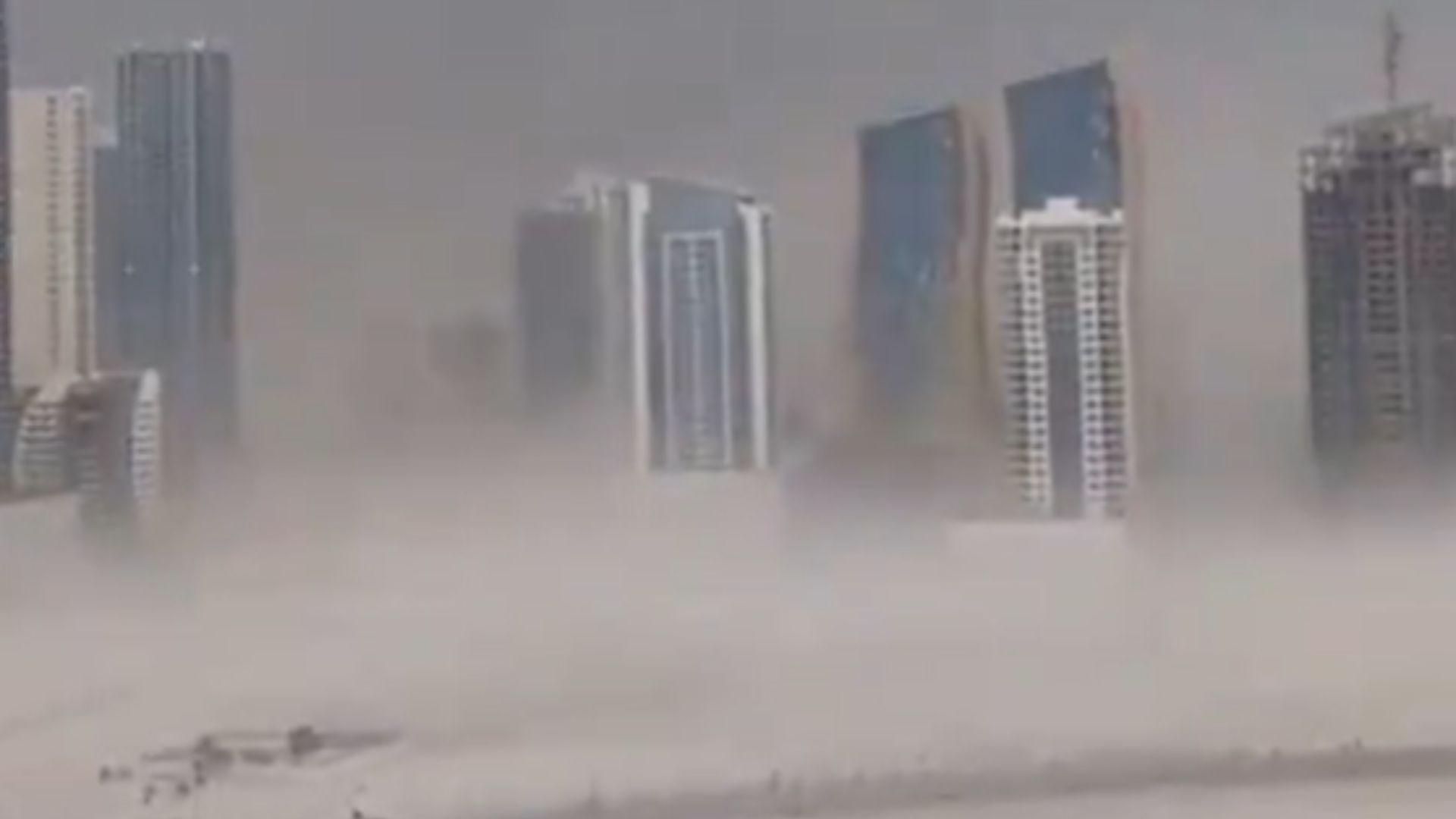
Atmospheric Rivers in California
During its peak, El Niño brought powerful atmospheric river events to California, resulting in heavy rainfall and flooding.
Source: Reddit
These events have been some of the most impactful weather phenomena in the region over the past year.
Global Ocean Temperature Trends
El Niño drove global ocean temperatures to record highs, and although La Niña might cool them slightly, this won’t happen quickly.

Source: Marian Florinel Condruz/Pexels
Oceans are slow to lose heat, especially given the excess heat stored from fossil fuel emissions.
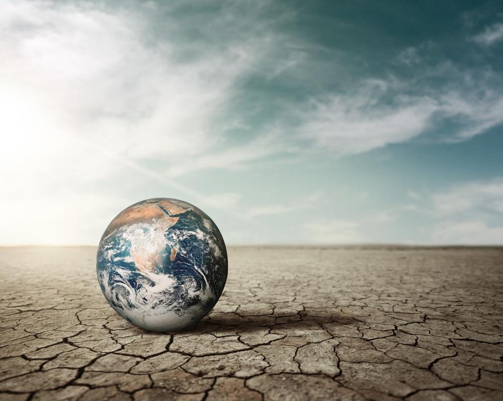
Do the El Nino Events Effect Climate Change?
According to the World Meteorological Organization, natural weather events such as those experienced during the El Niño Southern Oscillation, which may bring cooler temperatures, doesn’t mean we are winning in the fight against climate change.
Source: Freepik
“Every month since June 2023 has set a new temperature record – and 2023 was by far the warmest year on record. The end of El Niño does not mean a pause in long-term climate change, as our planet will continue to warm due to heat-trapping greenhouse gases. Exceptionally high sea surface temperatures will continue to play an important role during next months,” said WMO Deputy Secretary-General Ko Barrett.
An Important Tool
Barrett continued, “Our weather will continue to be more extreme because of the extra heat and moisture in our atmosphere.”

Source: Freepik
This is why the Early Warnings for All initiative remains WMO’s top priority. Seasonal forecasts for El Niño and La Niña and the anticipated impacts on the climate patterns globally are an important tool to inform early warnings and early action,” she said.
Preparing for the Future
As we transition to La Niña, understanding and preparing for these changes is crucial.
Source: @Northistan/X
From heightened hurricane activity to potential droughts, being informed about these shifts can help reduce their impacts and better prepare for what lies ahead.